

Wairoa, Māhia & Waikaremoana
Wairoa · Nūhaka · Māhia Peninsula · Tuai · Lake Waikaremoana · Te Urewera
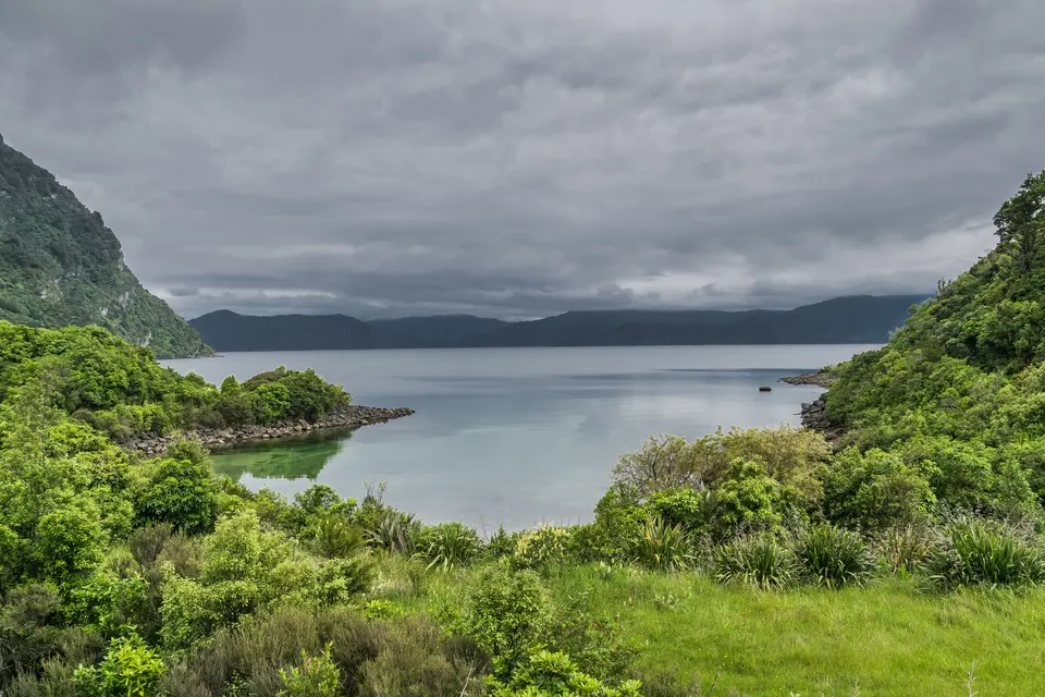

Wairoa is the only town in northern Hawke’s Bay, on State Highway 2, 119 km north-east of Napier and 93 km south-west of Gisborne. East of the town, the Māhia Peninsula has sheltered beaches and a forest walk. Lake Waikaremoana, in Te Urewera, is 66 km north-west of Wairoa by road, on State Highway 38.
What is there to do around Wairoa?
The district has three parts. Wairoa town sits on the Wairoa River, which has the largest catchment of any river in Hawke’s Bay; the old Portland Island lighthouse now stands in the town centre by Marine Parade. The i‑SITE says the name Wairoa means ‘long water’.
East along State Highway 2 are Nūhaka and the Māhia Peninsula, with sheltered beaches, a DOC scenic reserve and the short climb up Mokotahi Hill. Inland, State Highway 38 runs past Tuai to Lake Waikaremoana in Te Urewera, where short walks lead to waterfalls, lookouts and Lake Waikareiti.
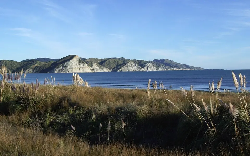
Māhia Peninsula
Sheltered beaches, a short climb up Mokotahi Hill and a DOC forest loop, east of Wairoa.
Good to know & how to get there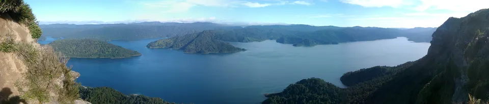
Lake Waikaremoana day walks
Short walks to waterfalls and lookouts, and a 2-hour return walk to Lake Waikareiti, in Te Urewera.
Good to know & how to get thereWhere is the Wairoa i‑SITE?
The Wairoa i‑SITE is at 190 Marine Parade, on the main street. Wairoa District Council runs it. In February 2025 the council said the i‑SITE was moving from Bridge Street to a new building at the Marine Parade and Locke Street site, which also has a bus stop area. Some listings, including Hawke’s Bay Tourism’s, still show another address.
The i‑SITE’s website gives its hours as 8.30 am to 4.30 pm on weekdays and 10 am to 4.30 pm at weekends, and 10 am to 4 pm on public holidays. It is closed on Christmas Day.
What is on State Highway 2 north of Wairoa: Nūhaka, Ōpoutama and Mōrere?
Nūhaka is a small settlement on State Highway 2, north-west of the Māhia Peninsula, with a general store and two marae. The road to Māhia turns off here. Ōpoutama, on the peninsula, has a sheltered white-sand beach at Blue Bay, which the i‑SITE describes as safe for swimming and good for learner surfers. Te Ara notes that the meeting house at Ōpoutama is named after Ruawharo.
Further north on State Highway 2, Mōrere has natural mineral springs in a scenic reserve of lowland forest with nīkau palms. Te Ara says DOC administers the thermal reserve. When we checked on 19 November 2026, the Wairoa i‑SITE listed the Mōrere hot springs as closed until further notice, so ask the i‑SITE before you plan a visit.
How do you get to Lake Waikaremoana, and is the road sealed?
Take State Highway 38 from Wairoa. Te Ara puts the lake 66 km north-west of Wairoa by road; the i‑SITE says 67 km. On the way you pass Tuai, a settlement on Lake Whakamarino, an artificial lake made for the Waikaremoana power scheme. Tuai power station opened in 1929.
Large parts of the road are unsealed, narrow and winding. DOC says about 90 km of State Highway 38 between Murupara and Tuai is gravel and recommends a 4WD or SUV; the i‑SITE says a 4WD is not needed, but suggests motorhomes avoid the route from Rotorua. Roads here can close after heavy rain or for repairs. Check NZTA’s Journey Planner and the Te Urewera alerts before you go.
Who looks after Te Urewera and Lake Waikaremoana?
Te Urewera is the ancestral home of Tūhoe and is no longer a national park. Under the Te Urewera Act 2014 it is a legal entity with the rights of a legal person, and Te Urewera Board acts on its behalf and governs it. Te Uru Taumatua, the operational arm of Ngāi Tūhoe, looks after the tracks and facilities, with support from DOC.
Lake Waikaremoana formed about 2,200 years ago, when a landslide blocked a gorge on the Waikaretāheke River, and it is up to 248 m deep. The Te Urewera Visitor Centre at Te Kura Whenua, on State Highway 38 at the lake, has current weather and track information; Tūhoe opened Te Kura Whenua in 2016. Dogs are not allowed on the tracks, there are no rubbish facilities, and hunting needs a permit. The multi-day Great Walk has its own guide.
Is there a rocket launch site on the Māhia Peninsula?
Yes. Rocket Lab’s Launch Complex 1, New Zealand’s first commercial spaceport, opened in 2016 on Ahuriri Point at the southern tip of the peninsula, according to Te Ara. Rocket Lab uses it for orbital launches. We found no official visitor or viewing information, so we give none here.
Questions about Wairoa, Māhia & Waikaremoana
How far is Wairoa from Napier?
Te Ara gives 119 km along State Highway 2. Gisborne is 93 km to the north-east.
How far is Lake Waikaremoana from Wairoa?
About 66 km by road on State Highway 38, according to Te Ara. Large parts of the road are gravel.
Where is the Wairoa i‑SITE?
At 190 Marine Parade, on Wairoa’s main street.
Are the Mōrere hot springs open?
When we checked on 19 November 2026, the Wairoa i‑SITE listed them as closed until further notice. Check with the i‑SITE before you go.
Can you take a dog to Lake Waikaremoana?
Not on the tracks. DOC’s Te Urewera page says dogs and other domestic animals are not permitted.
Sources
Checked 19 November 2026 against these sources. Rules, prices and times change, so check the official page before you go. How we check facts
- Te Ara: Hawke’s Bay places – Wairoa
- Te Ara: Hawke’s Bay places – Māhia Peninsula
- Te Ara: Hawke’s Bay places – Lake Waikaremoana and Tuai
- Wairoa i‑SITE (Wairoa District Council)
- Wairoa i‑SITE: Wairoa’s areas
- Wairoa i‑SITE: Opoutama
- Wairoa i‑SITE: Mōrere Scenic Reserve & Hot Springs
- Wairoa i‑SITE: Lake Waikaremoana
- Wairoa District Council: Wairoa isite opening draws closer (24 February 2025)
- Hawke’s Bay Tourism: isite Visitor Centres
- QEII National Trust: Mokotahi Hill
- DOC: Mahia Peninsula Scenic Reserve Track
- DOC: Te Urewera
- DOC: Te Urewera Visitor Centre at Te Kura Whenua
- DOC: Lake Waikaremoana area short walks
- New Zealand Legislation: Te Urewera Act 2014
- Ngāi Tūhoe: Te Urewera
- Ngāi Tūhoe: Alerts and important information
- Rocket Lab: Launch sites
- NZTA: Journey Planner
- Wikipedia: Wairoa (coordinates)
- Wairoa i‑SITE: Portland Island Lighthouse