

Home › Guides
Travel guides for Hawke’s Bay
Tracks, rules, getting around and when to go. Every guide lists its sources and the date we last checked it.
Plan your trip
 Getting to Hawke’s BayHawke’s Bay Airport (NPE) is on the northern edge of Napier, about 10 minutes from the city centre, with direct Air New Zealand flights from Auckland, Wellington and Christchurch.
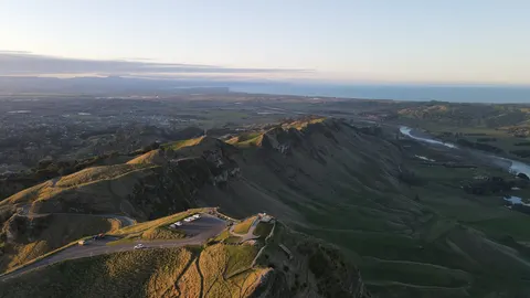 Best time to visitHawke’s Bay is sunny and fairly dry: Te Ara gives about 2,100 to 2,200 sunshine hours a year, and central Napier gets about 786 mm of rain.
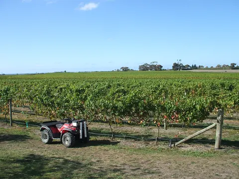 Wine countryHawke’s Bay is New Zealand’s second-largest wine region, with about 4,400 ha of vines, known for red blends, Syrah and Chardonnay.
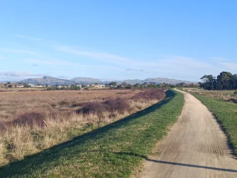 Hawke’s Bay TrailsThe Hawke’s Bay Trails are a network of mostly flat, off-road cycle and walking paths around Napier, Hastings and the coast, and one of the Great Rides of Ngā Haerenga, the New Zealand Cycle Trail.
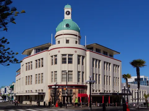 Napier Art Deco and the 1931 quakeNapier is Art Deco because the Hawke’s Bay earthquake of 3 February 1931 and the fires after it destroyed most of the town centre, which was rebuilt in the styles of the early 1930s.
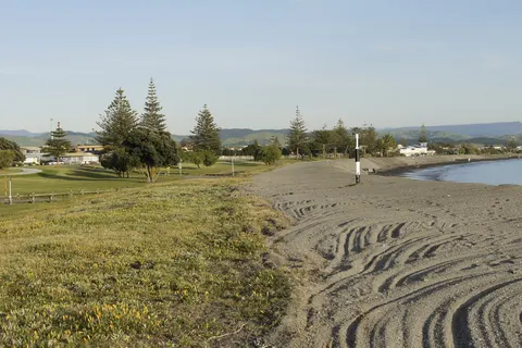 Beaches and swimmingFor a swim in Hawke’s Bay, choose a beach with surf lifeguards in summer: Westshore and Ahuriri in Napier, or Ocean Beach and Waimārama, about 35 minutes’ drive from Hastings.
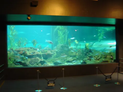 Rainy days and kidsOn a wet day in Hawke’s Bay, head for Marine Parade in Napier.
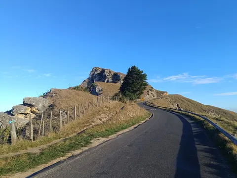 Roads and tracks: where to checkCheck two places before a drive in Hawke’s Bay: NZTA’s Journey Planner for state highways, and the road page of the council whose roads you will use, whether Napier, Hastings, Central Hawke’s Bay or Wairoa.
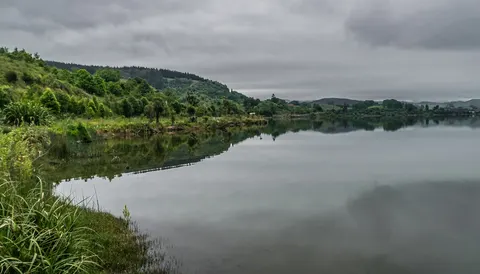
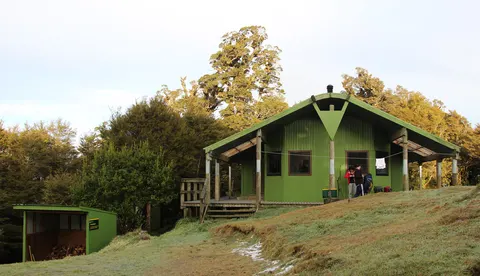 Lake Waikaremoana Great WalkThe Lake Waikaremoana Great Walk is a one-way tramp of about 44 km along the lake in Te Urewera, from Onepoto to Hopuruahine Landing.
 Camping and freedom campingIn Hawke’s Bay you can camp at DOC campsites in Kaweka Forest Park, at the campsites on the Lake Waikaremoana Great Walk, and in council freedom camping areas.