

Roads and tracks in Hawke’s Bay: where to check
Stay Hawke’s Bay travel guide · checked 19 November 2026
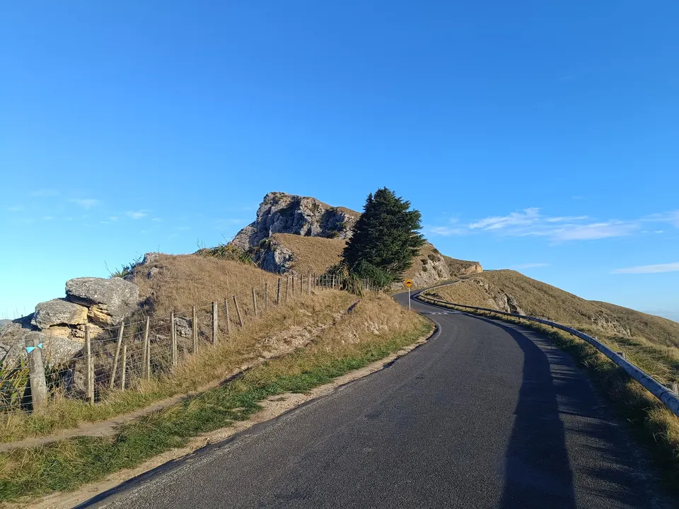
Check two places before a drive in Hawke’s Bay: NZTA’s Journey Planner for state highways, and the road page of the council whose roads you will use, whether Napier, Hastings, Central Hawke’s Bay or Wairoa. The cycle trails, DOC tracks and Te Urewera each have their own alerts pages. Roads can close after heavy rain.
Roads in Hawke’s Bay can close at short notice after heavy rain. Check NZTA’s Journey Planner and the council’s road page before you go. NZTA road conditions
Key facts
| State highways | NZTA Journey Planner: closures, incidents, roadworks and traffic cameras |
|---|---|
| Local roads | Napier City, Hastings District, Central Hawke’s Bay District and Wairoa District councils each post their own closures |
| Cycle trails | Hawke’s Bay Trails alerts page (Hawke’s Bay Regional Council), 0800 108 838 |
| DOC tracks | DOC alerts page, by region (Hawke’s Bay; Te Urewera is under East Coast) |
| Te Urewera | Ngāi Tūhoe alerts; Te Urewera information moved to teurewera.iwi.nz on 1 October 2026 |
| Cyclone rebuild (Hastings) | Recovery programme: repair 161 bridges, rebuild 13 permanent bridges and 6 large culverts (Hastings District Council) |
Where can you check Hawke’s Bay road closures?
We do not show live road status on this site, because it changes daily. These are the official places to check:
| What | Where to check | Good to know |
|---|---|---|
| State highways (such as SH2, SH5, SH38, SH50, SH51) | NZTA Journey Planner | State highways only. Closures, incidents, roadworks and traffic cameras |
| Napier city roads | Napier City Council: Road works | Interactive map of road works and temporary closures, plus a list of notices |
| Hastings district roads | Hastings District Council: Road works and Road closures | Interactive map with a text list; closures appear once the council has been told about them |
| Central Hawke’s Bay roads | Central Hawke’s Bay District Council: Road updates and closures | Works, closures and bridge weight and speed limits; 06 857 8060, staffed 24/7 |
| Wairoa district roads | Wairoa District Council: Roading | Road closures and roading updates |
| Hawke’s Bay Trails (cycling) | Hawke’s Bay Trails: Trail news and alerts | Closures and detours on the cycle trails |
| DOC tracks and huts | DOC: Alerts | Choose Hawke’s Bay, or East Coast for Te Urewera |
| Te Urewera and Lake Waikaremoana | Ngāi Tūhoe: Alerts and important information; teurewera.iwi.nz | Te Urewera information moved to teurewera.iwi.nz on 1 October 2026 |
| Civil defence emergencies | Hawke’s Bay Emergency Management | Call 111 if life is at risk; Hawke’s Bay Emergency Management posts updates during an emergency |
What should you do in heavy rain?
Hastings District Council says it cannot guarantee that roads will be open during weather events, and advises staying off the roads until the worst has passed. Central Hawke’s Bay District Council asks drivers to drive to the conditions and to check NZTA’s Journey Planner before they travel.
Rivers rise fast in the back country. DOC warns that the Kaweka Range can have sudden weather changes, whiteouts, high winds and rapidly rising rivers, and that a river ford on Makahu Road can rise after heavy rain or snowmelt.
What changed on the roads after Cyclone Gabrielle?
Cyclone Gabrielle in February 2023 badly damaged roads and bridges across Hawke’s Bay. Hastings District Council looks after a 1,640 km road network. It installed 10 temporary bridges to reconnect communities, and its recovery programme includes repairing 161 bridges and rebuilding 13 permanent bridges and six large culverts. It estimates the rebuild at $800 million over seven to ten years, depending on funding.
Permanent replacements that Hastings District Council reports as finished:
| Bridge or road | Done | Source note |
|---|---|---|
| Chrystal Culvert | July 2024 | The council’s first major permanent bridge or culvert rebuild after the cyclone |
| Kererū Gorge culvert | April 2025 | Rebuild complete |
| Matapiro Bridge | Opened 30 June 2025 | New bridge |
| Moteo-Puketapu Bridge | Opened 23 August 2025 | Opened with a dawn blessing |
| Kererū Road | June 2026 | Major rebuild for safety and resilience |
| Pekapeka-Rissington Bridge | Open to traffic 28 July 2026 | Takes the name Pekapeka-Rissington once the temporary Bailey bridge is removed |
| Mangaone-Dartmoor Bridge | Open to traffic 30 October 2026 | 104 m long, four 26 m spans; deck above the 1-in-500-year flood level |
Other replacements, including the Redclyffe/Waiohiki Bridge near Taradale, are still being designed or built. The council’s roading recovery page lists them.
We found no official source with a lasting summary of the state highway repairs after the cyclone, so this page gives none. Check NZTA’s Journey Planner for the state highways.
Are the Hawke’s Bay Trails open?
Mostly, but sections close for repairs and flood protection work, with detours. Hawke’s Bay Regional Council runs the trails. Several sections were rebuilt after Cyclone Gabrielle: the council’s alerts page says the Puketapu Loop fully reopened in July 2026, and the Water Ride’s Tūtaekurī stopbank section reopened from 31 July 2026.
Stopbank and other works can close a section for months. Check the Hawke’s Bay Trails alerts page before you ride, or call 0800 108 838.
What about DOC tracks and Te Urewera?
DOC posts alerts for tracks, huts and campsites on its alerts page, sorted by region, and on each track’s page. Te Urewera, around Lake Waikaremoana, is not a DOC park. Under the Te Urewera Act 2014 it is a legal entity governed by Te Urewera Board, and Te Uru Taumatua, Ngāi Tūhoe’s operational body, cares for its tracks and facilities. DOC still takes the bookings for the Lake Waikaremoana Great Walk.
Ngāi Tūhoe posts road works and closures on State Highway 38 near the lake, campsite closures and water taxi notices on its alerts page. On 1 October 2026 it moved its Te Urewera information to a new website, teurewera.iwi.nz. We could not load that site, so we link the alerts page and DOC.
What should you know before driving on back-country roads?
- State Highway 38 to Lake Waikaremoana has about 90 km of gravel between Murupara and Tuai. DOC says this can be hard going for low vehicles and recommends a 4WD or SUV.
- DOC recommends 4WD for the access roads into Kaweka Forest Park. Kaweka Road is 64 km west of Napier, off Whittle Road, which is reached from Puketitiri Road.
- Makahu Road, to Mangatutu, is unsealed, steep and narrow in places. DOC says caravans and campervans are not suitable, and there is a river ford.
- Trucks use the quarry on Whittle Road: DOC asks drivers to give them right of way where possible. On Lotkow Road the river crossings change, so check before you cross.
- Vehicles are not allowed on Ocean Beach. All Hastings beaches have a 20 km/h speed limit, and Waimārama has a seasonal daytime ban on part of the beach.
Questions
Where can I check Hawke’s Bay road closures?
Use NZTA’s Journey Planner for state highways and the road page of the council whose roads you will use: Napier City, Hastings District, Central Hawke’s Bay District or Wairoa District.
Is State Highway 5 or State Highway 2 open?
Check NZTA’s Journey Planner, which shows closures, incidents and roadworks on all state highways. We do not show live road status.
Who do I call about a road problem in Central Hawke’s Bay?
Central Hawke’s Bay District Council’s number, 06 857 8060, is staffed 24/7. Call 111 in an emergency.
Are the Hawke’s Bay cycle trails closed?
Some sections close for works, with detours. Check the Hawke’s Bay Trails alerts page before you ride.
Is the road to Lake Waikaremoana sealed?
Not all the way. DOC says about 90 km of State Highway 38 between Murupara and Tuai is gravel, and recommends a 4WD or SUV.
Sources
Checked 19 November 2026 against these sources. Rules, prices and times change, so check the official page before you go. How we check facts
- NZTA Journey Planner
- Napier City Council: Road works
- Hastings District Council: Road works
- Hastings District Council: Road hazards and closures
- Central Hawke’s Bay District Council: Roads, streets and weather event information
- Wairoa District Council: Roading
- Wairoa District Council: Civil defence
- Hawke’s Bay Trails: Trail news and alerts
- DOC: Alerts
- Ngāi Tūhoe: Alerts and important information
- New Zealand Legislation: Te Urewera Act 2014
- DOC: Te Urewera (getting there, SH38)
- DOC: Kaweka Forest Park
- DOC: Mangatutu Hot Springs Campsite
- Hastings District Council: Cyclone Gabrielle
- Hastings District Council: Roading recovery
- Hastings District Council: Chrystal Culvert rebuild
- Hastings District Council: Kererū Gorge culvert rebuild complete
- Hastings District Council: New Matapiro Bridge officially opened
- Hastings District Council: New Moteo-Puketapu Bridge officially open
- Hastings District Council: Kererū Rd rebuild
- Hastings District Council: New bridge will reopen as Pekapeka-Rissington Bridge
- Hastings District Council: New Mangaone-Dartmoor Bridge open to traffic
- Hastings District Council: Alignment confirmed for new Redclyffe/Waiohiki Bridge
- Hastings District Council: Ocean Beach
- Hastings District Council: Waimārama Beach