

Things to do in Hawke’s Bay
Walks, beaches, museums, hot springs and wine, each with access, times and official sources.
What’s on
All events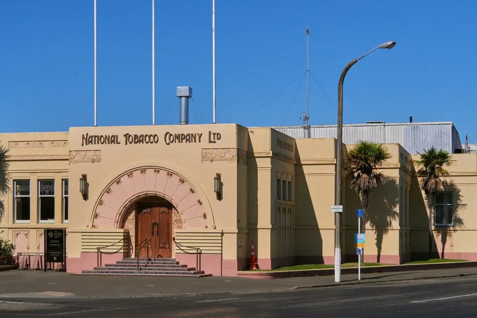
Napier Art Deco walk
Guided or self-guided walks through Napier’s 1930s streets, starting at the Art Deco Trust in Memorial Square.
Good to know & how to get there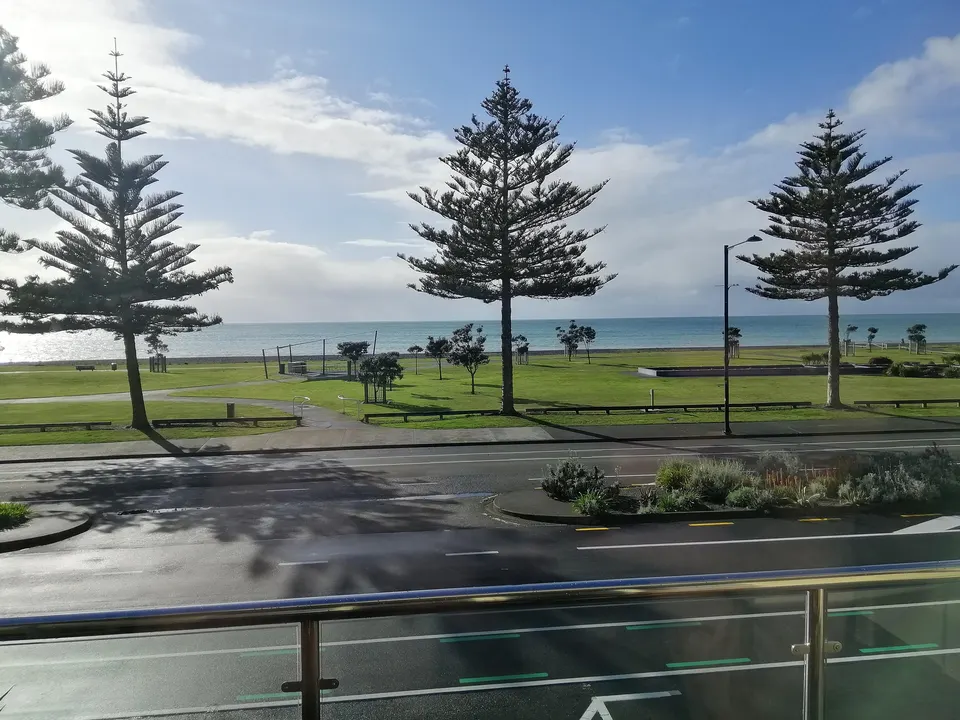
Marine Parade
Napier’s seafront, with gardens, Pania of the Reef and a shoreline path. Shingle beach, not for swimming.
Good to know & how to get there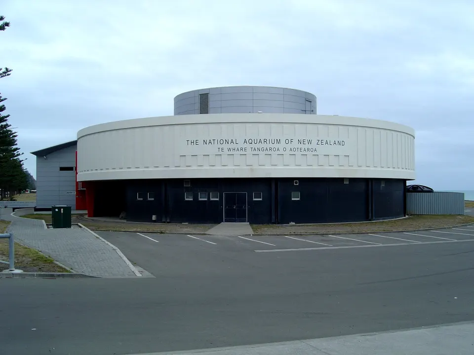
National Aquarium of New Zealand
Little penguins, kiwi and an oceanarium tunnel on Marine Parade. Open daily, 9am to 5pm.
Good to know & how to get there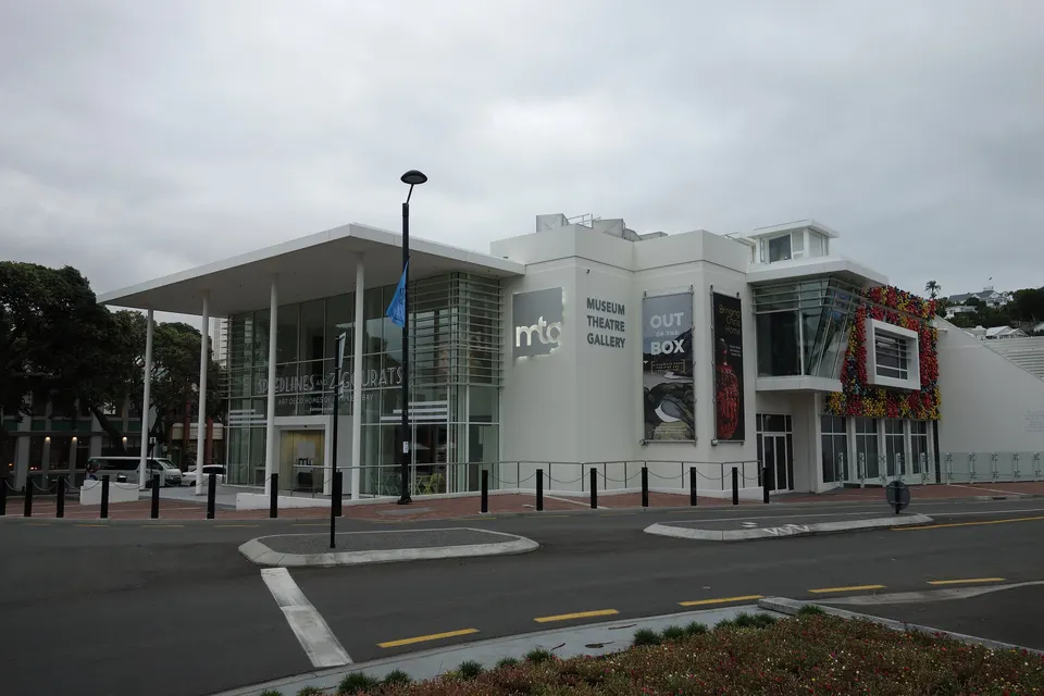
Kahukura Hawke’s Bay Museum (MTG)
The region’s museum and art gallery on Marine Parade, with a 1931 earthquake exhibition. Free entry.
Good to know & how to get there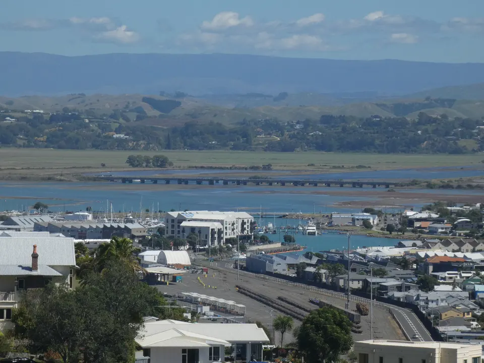
Mataruahou (Bluff Hill) Lookout
Hilltop lookout over Napier Port and Hawke Bay. Drive up Lighthouse Road or walk up from Marine Parade.
Good to know & how to get there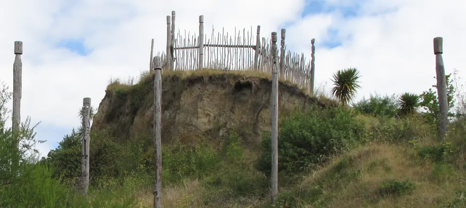
Ōtātara Pā Historic Reserve
One of Hawke’s Bay’s largest and oldest pā sites, on a 1.6 km DOC track above the Tūtaekurī River.
Good to know & how to get there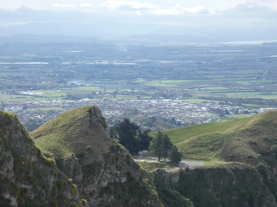
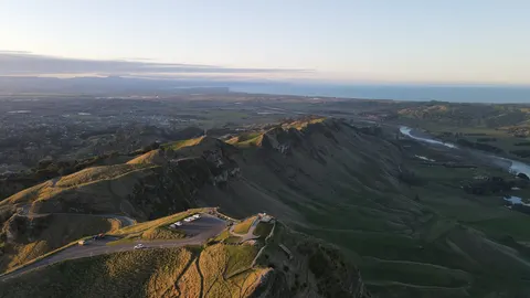
Te Mata Peak
The 399 m peak above Havelock North, with a summit road and seven marked trails in Te Mata Park.
Good to know & how to get there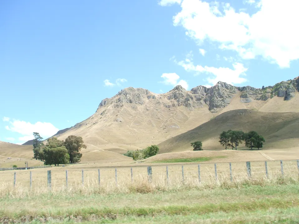
Hawke’s Bay Farmers’ Market
Growers’ market every Sunday, 8.30 am to 12.30 pm, at the Tōmoana Showgrounds in Hastings.
Good to know & how to get there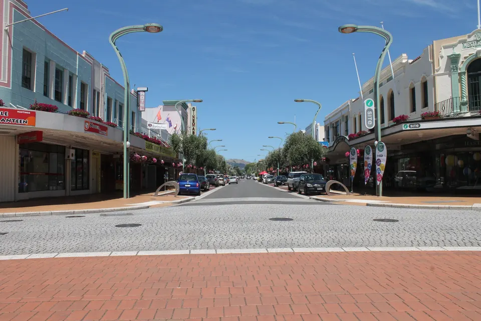
Hastings heritage walk
Free self-guided stroll past the Spanish Mission and Art Deco shops rebuilt after the 1931 earthquake.
Good to know & how to get there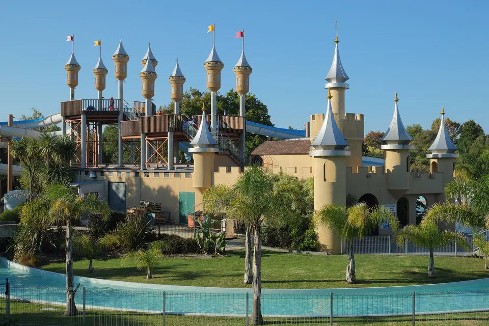
Splash Planet
Council-run water park in Hastings, open each summer from mid-November; a dry Play Park at weekends.
Good to know & how to get there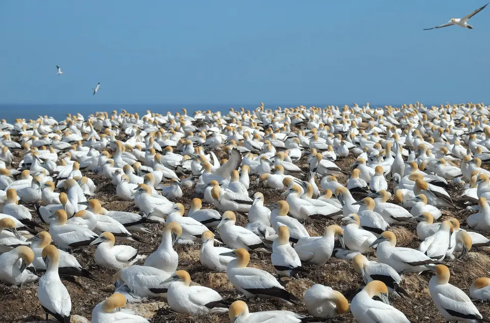
Cape Kidnappers / Te Kauwae-a-Māui gannets
About 6,500 pairs of nesting gannets, reached by a low-tide beach walk from Clifton or an overland tour.
Good to know & how to get there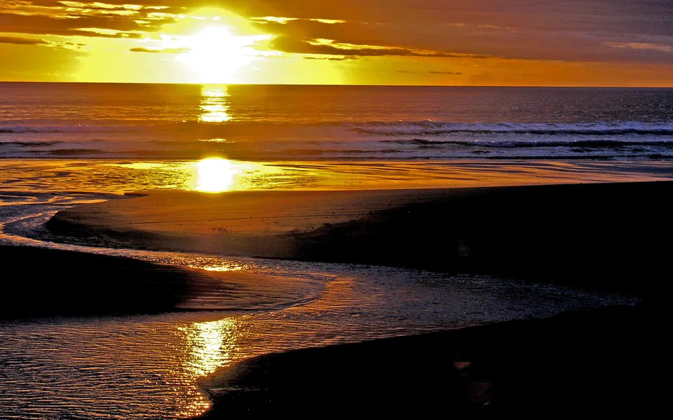
Ocean Beach
Long sandy surf beach near Havelock North, patrolled by lifeguards in summer. No vehicles on the sand.
Good to know & how to get there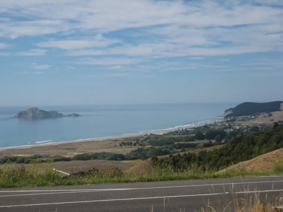
Waimārama Beach
Surf beach about 35 minutes from Hastings, patrolled in summer, with Te Motu-o-Kura / Bare Island offshore.
Good to know & how to get there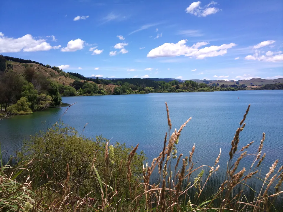
Lake Tūtira
Lake 41 km north of Napier with free DOC and paid council camping and the walk to Table Mountain Trig.
Good to know & how to get there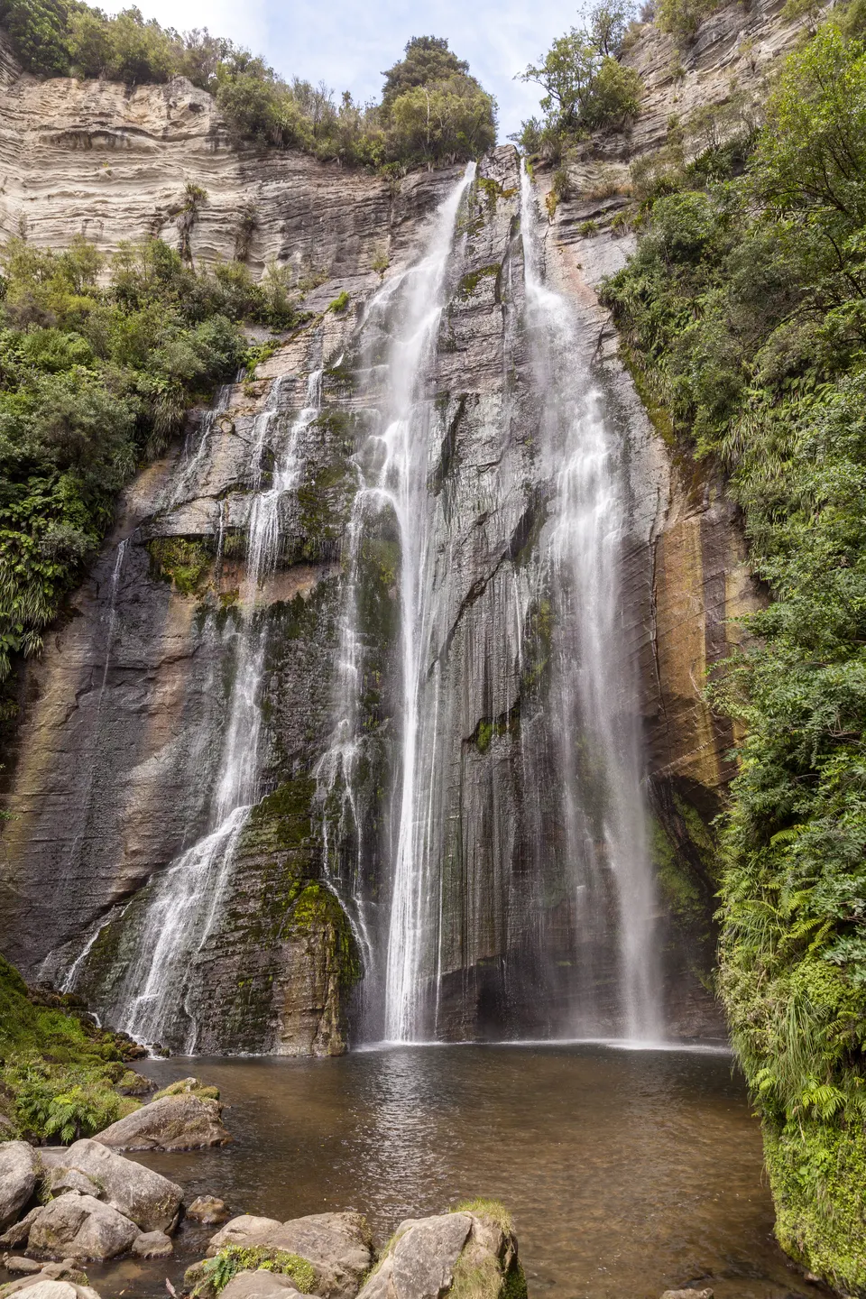
Shine Falls & Boundary Stream
58 m waterfall, the highest in Hawke’s Bay: 1 h 30 min return in DOC’s Boundary Stream. Check DOC first.
Good to know & how to get there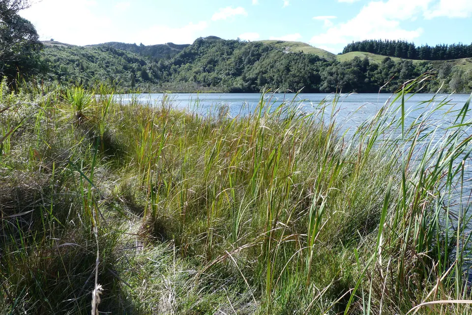
Lake Opouahi
Small bush lake with a 40-minute walk inside the predator-proof fence of the Opouahi Kiwi Crèche.
Good to know & how to get there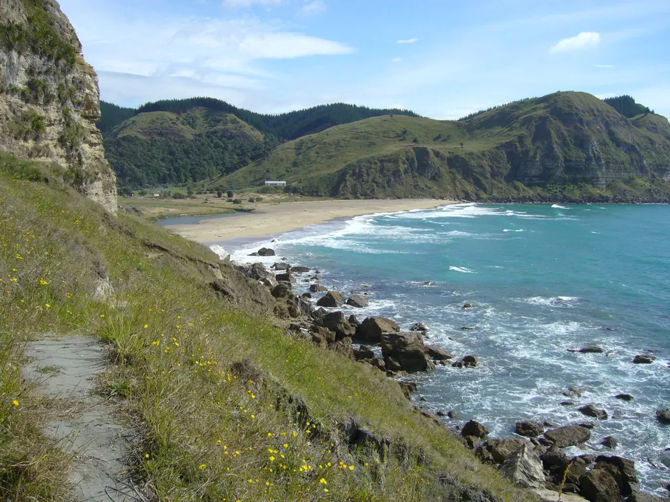
Waipātiki Beach
Sandy beach in a bush valley 11 km off SH2, with a camping ground and lifeguards from mid-December.
Good to know & how to get there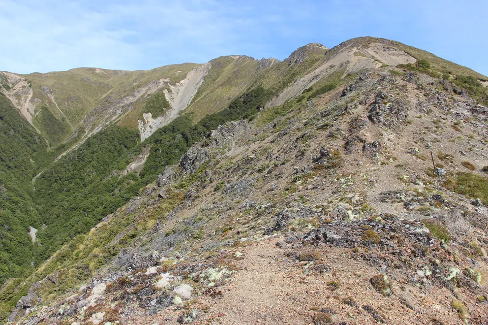
Kaweka J
Highest point of the Kaweka Range, about 1,724 m: a poled mountain climb of about 2 hours from Makahu Saddle.
Good to know & how to get there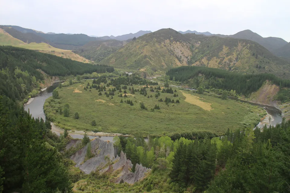
Mangatutu Hot Springs
Two free thermal pools above the Mōhaka River at the end of gravel Makahu Road, with a DOC campsite.
Good to know & how to get there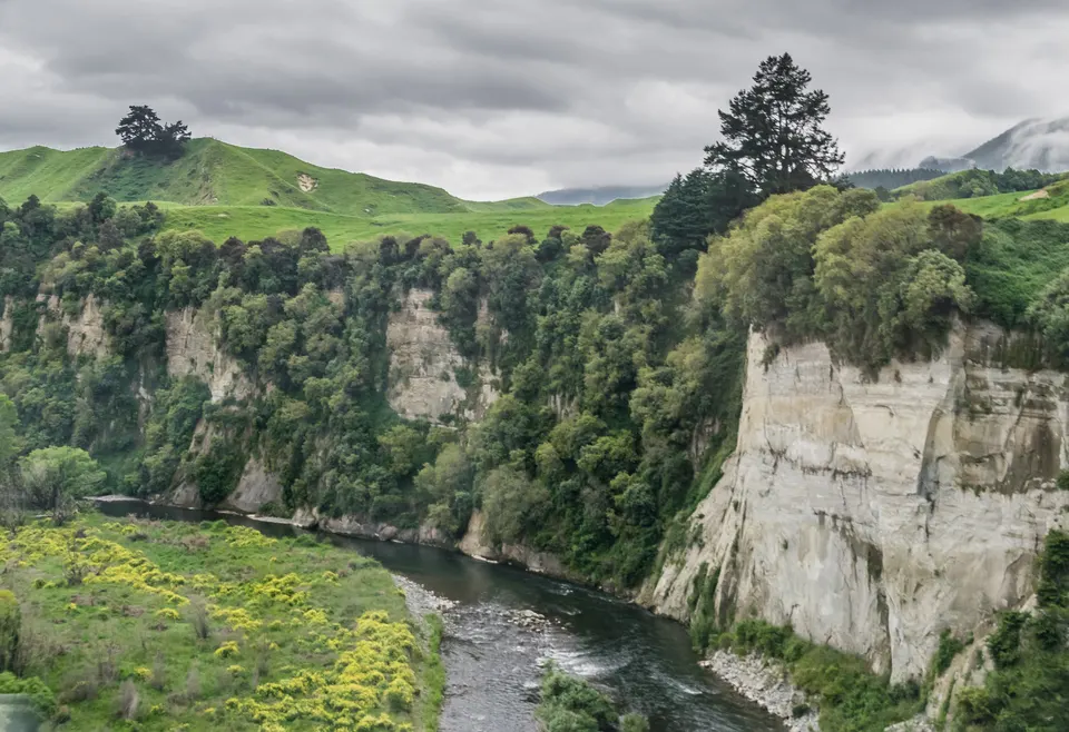
Mōhaka River
Wild river from the Kaweka Range: trout fishing, guided rafting from Grade 2 to 5 and riverside DOC campsites.
Good to know & how to get there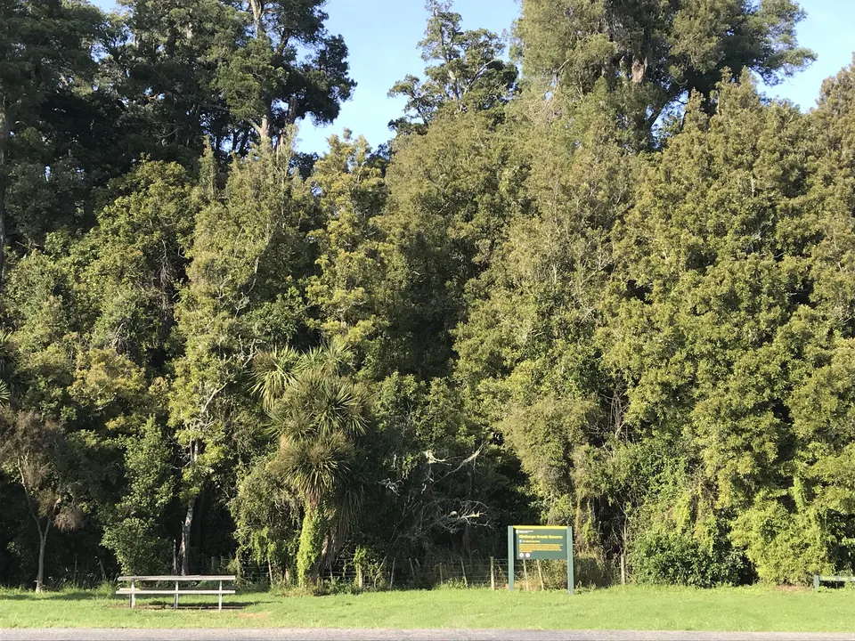
Central Hawke’s Bay beaches
Seven quiet beaches from Kairākau to Pōrangahau, with freedom camping at Pourērere by summer permit.
Good to know & how to get there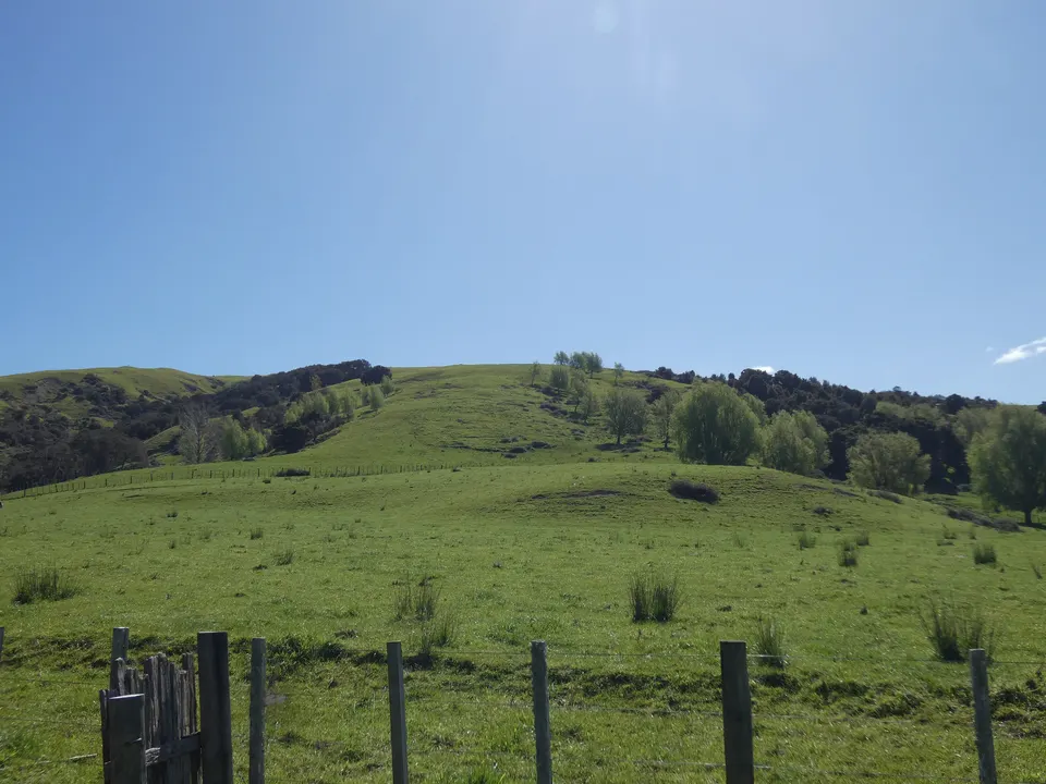
Te Angiangi Marine Reserve
No-take marine reserve between Aramoana and Blackhead, with rock pools on a wide reef at low tide.
Good to know & how to get there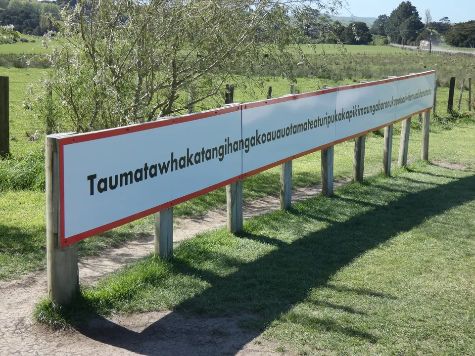
The longest place name
The hill near Pōrangahau with the world’s longest place name, and its sign on Wimbledon Road.
Good to know & how to get there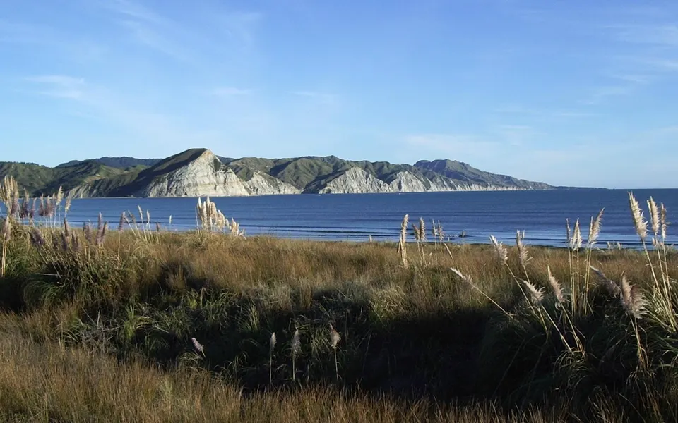
Māhia Peninsula
Sheltered beaches, a short climb up Mokotahi Hill and a DOC forest loop, east of Wairoa.
Good to know & how to get there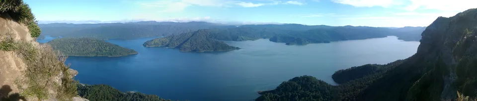
Lake Waikaremoana day walks
Short walks to waterfalls and lookouts, and a 2-hour return walk to Lake Waikareiti, in Te Urewera.
Good to know & how to get there Getting to Hawke’s BayHawke’s Bay Airport (NPE) is on the northern edge of Napier, about 10 minutes from the city centre, with direct Air New Zealand flights from Auckland, Wellington and Christchurch.
 Best time to visitHawke’s Bay is sunny and fairly dry: Te Ara gives about 2,100 to 2,200 sunshine hours a year, and central Napier gets about 786 mm of rain.
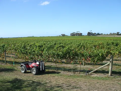 Wine countryHawke’s Bay is New Zealand’s second-largest wine region, with about 4,400 ha of vines, known for red blends, Syrah and Chardonnay.
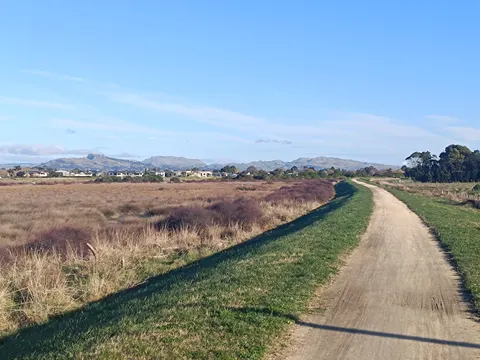 Hawke’s Bay TrailsThe Hawke’s Bay Trails are a network of mostly flat, off-road cycle and walking paths around Napier, Hastings and the coast, and one of the Great Rides of Ngā Haerenga, the New Zealand Cycle Trail.
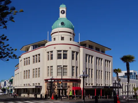 Napier Art Deco and the 1931 quakeNapier is Art Deco because the Hawke’s Bay earthquake of 3 February 1931 and the fires after it destroyed most of the town centre, which was rebuilt in the styles of the early 1930s.
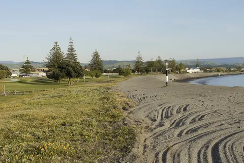 Beaches and swimmingFor a swim in Hawke’s Bay, choose a beach with surf lifeguards in summer: Westshore and Ahuriri in Napier, or Ocean Beach and Waimārama, about 35 minutes’ drive from Hastings.
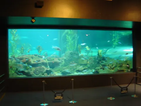 Rainy days and kidsOn a wet day in Hawke’s Bay, head for Marine Parade in Napier.
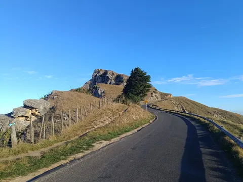 Roads and tracks: where to checkCheck two places before a drive in Hawke’s Bay: NZTA’s Journey Planner for state highways, and the road page of the council whose roads you will use, whether Napier, Hastings, Central Hawke’s Bay or Wairoa.
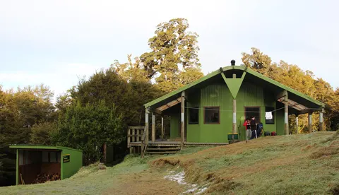 Lake Waikaremoana Great WalkThe Lake Waikaremoana Great Walk is a one-way tramp of about 44 km along the lake in Te Urewera, from Onepoto to Hopuruahine Landing.
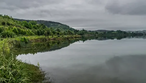 Camping and freedom campingIn Hawke’s Bay you can camp at DOC campsites in Kaweka Forest Park, at the campsites on the Lake Waikaremoana Great Walk, and in council freedom camping areas.