

Mōhaka River
River · Kaweka & Puketitiri
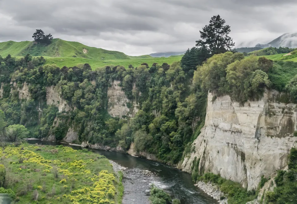
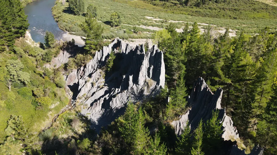
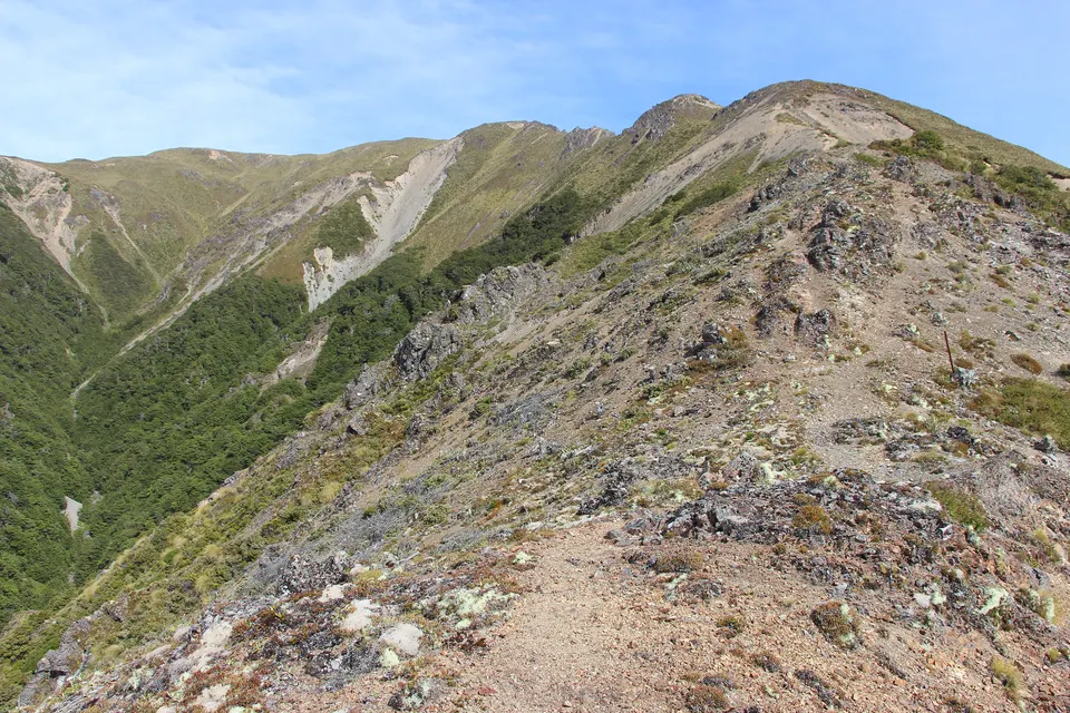
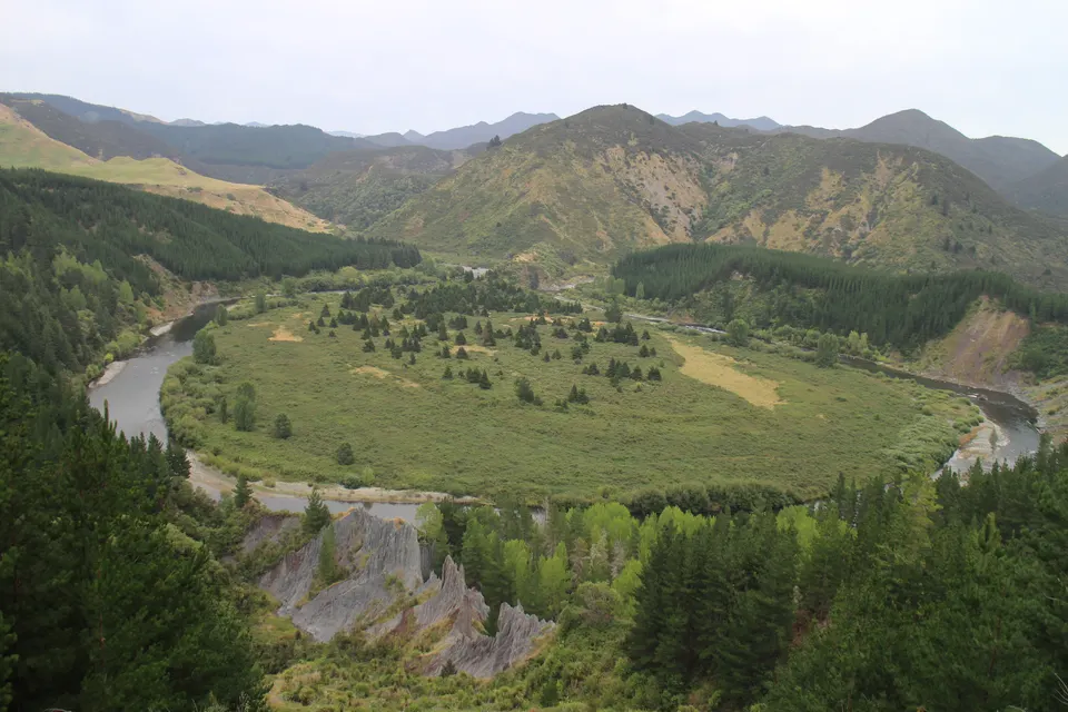
The Mōhaka River rises in the Kaweka and Kaimanawa ranges and flows across northern Hawke’s Bay to the sea near Mōhaka. Its upper and middle reaches, reached by roads off Puketitiri Road and State Highway 5, are known for trout fishing and for rafting from Grade 2 to Grade 5. A water conservation order covers the river.
Good to know
| Official name | Mōhaka River, made official with the macron in October 2025. |
|---|---|
| Source | The Kaweka and Kaimanawa ranges. |
| Mouth | The Pacific Ocean near Mōhaka, in Wairoa District. |
| Rafting | Grade 2 to Grade 5 sections; guided trips run by commercial operators. |
| Fishing | Brown trout above Pakaututu bridge, rainbow trout below it. |
| Protection | Water Conservation (Mohaka River) Order, made on 15 November 2004. |
| Camping | DOC campsites at Mangatutu (Kaweka) and Glenfalls (off State Highway 5). |
Can you go rafting on the Mōhaka River?
Yes. Hawke’s Bay Tourism says the river has Grade 2 sections for beginners, Grade 3 for more experienced paddlers and a technical Grade 5 run for advanced paddlers. The lower sections have more challenging rapids than the upper river.
Guided trips range from short Grade 2 family floats to full-day Grade 4/5 trips through gorges, and some trips start with a helicopter flight into the upper river in Kaweka Forest Park. Hawke’s Bay Tourism’s adventure listings show who currently runs them. Nobody pays to be on this site, so we do not rank operators; check seasons, minimum ages and prices with the operator.
Where can you fish the Mōhaka River?
Hawke’s Bay Tourism calls the upper river one of the region’s most popular fishing spots, with brown trout above Pakaututu bridge and rainbow trout below it. DOC says the Mōhaka also has ten species of native freshwater fish.
Fish & Game lists the public access points. In Kaweka Forest Park, the Te Puia Hut Track from the end of Makahu Road reaches Te Puia Hut, beside the upper river, in 2 to 3 hours; Fish & Game says no dogs or firearms on that access. Further down, there is access and camping at the DOC reserve off Waitara Road near State Highway 5. Much of the land beside the river is private, so do not cross it without permission.
Where can you camp beside the Mōhaka River?
At the end of Makahu Road, DOC’s free Mangatutu Hot Springs Campsite sits above two thermal pools by the river. From the same road end, DOC allows 2 to 3 hours to Te Puia Hut and 45 minutes more to Mangatainoka Hot Springs, which has three pools and a campsite beside the river.
Glenfalls Campsite is off State Highway 5 (Napier–Taupō Road), about an hour from Napier: the Waitara Road entrance is 2.1 km south of the Mohaka River Bridge, and the campsite is 8.1 km along the road. After Cyclone Gabrielle damage, DOC opened it only to certified self-contained vehicles, with no tents and no toilets. Check DOC’s Glenfalls page before you go.
Is the Mōhaka River safe?
Rivers in the Kaweka rise fast after rain or snowmelt, and many crossings have no bridge. DOC’s rule is simple: do not cross a flooded river, and if in doubt, stay out. At Glenfalls, DOC requires everyone to leave the campsite when the river flow reaches 200 m³ per second. The Makahu Road ford, 7.5 km from the road end, also changes with the river level.
What is the history of the upper Mōhaka?
DOC’s history of Kaweka Forest Park says the upper Mōhaka River had renowned eeling grounds, and tribes from as far away as Taupō set up seasonal camps there. Ngāti Mahu and Ngāti Hinepare lived on the Puketitiri side of the river, and there were settlements near the Mangatutu and Mangatainoka hot springs.
The Water Conservation (Mohaka River) Order was made on 15 November 2004. In October 2025 the New Zealand Geographic Board made Mōhaka River, with a macron, the official name.
Questions about Mōhaka River
What grade is rafting on the Mōhaka River?
Hawke’s Bay Tourism lists Grade 2 sections for beginners, Grade 3 for more experienced paddlers and a technical Grade 5 run.
Can you fish the upper Mōhaka?
Yes. Hawke’s Bay Tourism says brown trout live above Pakaututu bridge and rainbow trout below it. Fish & Game lists the access points.
Can you camp at Glenfalls?
Only in a certified self-contained vehicle, with no tents and no toilets, according to DOC’s Glenfalls page. Check the page before you go.
Sources
Checked 19 November 2026 against these sources. Rules, prices and times change, so check the official page before you go. How we check facts
- Hawke’s Bay Tourism: Mohaka River
- Hawke’s Bay Tourism: Adventure (operator listings)
- Hawke’s Bay Tourism: Mohaka rafting listing (trip types and grades)
- DOC: Kaweka Forest Park
- DOC: Kaweka Forest Park history and culture
- DOC: Mangatutu Hot Springs Campsite
- DOC: Te Puia Hut Track and Mangatainoka Hot Springs
- DOC: Glenfalls Campsite
- DOC: Lakes carpark to Mt Kuripapango Track
- Fish & Game: Mohaka River access points
- Ministry for the Environment: Mohaka River water conservation order 2004
- LINZ: Hundreds of Māori place names made official in the Hawke’s Bay region (October 2025)
- Hawke’s Bay Today: What tracks and sites remain closed almost three years on (22 December 2025)
- Wikipedia: Mōhaka River (background)