

Kaweka J
Tramping · Kaweka & Puketitiri
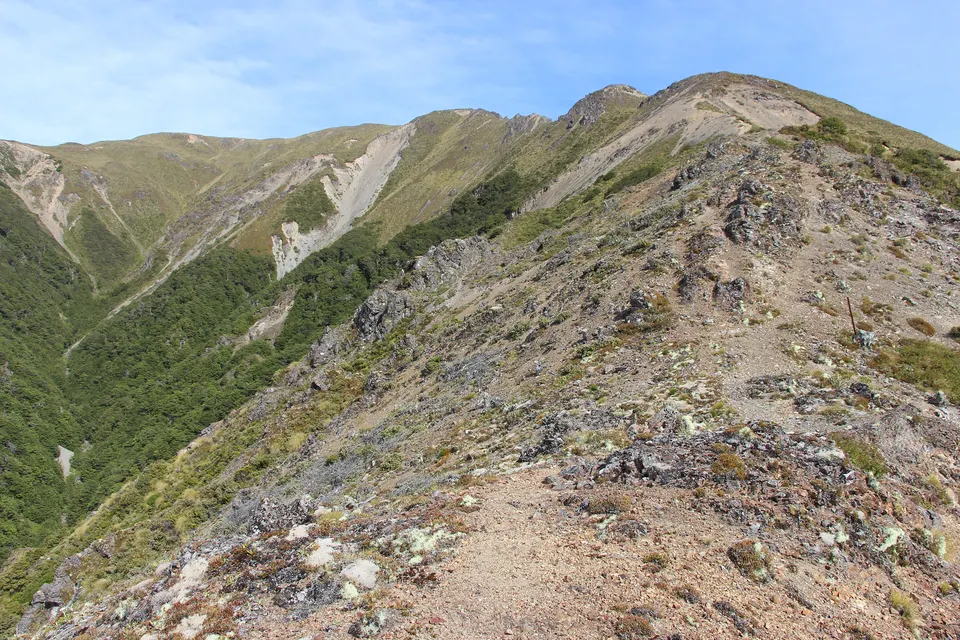
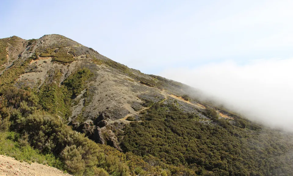
Kaweka J is the highest point of the Kaweka Range, about 1,724 m, in DOC’s Kaweka Forest Park. Most people climb it from Makahu Saddle, at the end of Kaweka Road, 64 km west of Napier; Hawke’s Bay Today puts the climb at about 2 hours. It is an exposed, poled mountain route for fit and experienced trampers.
Good to know
| Height | About 1,724 m (Hawke’s Bay Today gives 1,725 m). |
|---|---|
| Start | Makahu Saddle car park, at the end of Kaweka Road. Makahu Saddle Hut (980 m) is 5 minutes away. |
| Route | Trials Spur Track, 2 to 3 hours, DOC grade Advanced, then a steep poled route to the top. |
| Climb time | About 2 hours from Makahu Saddle (Hawke’s Bay Today). |
| Access | Kaweka Road is 64 km west of Napier. DOC recommends a 4WD. |
| Memorial | A rock cairn with a plaque for 11 Heretaunga Tramping Club members who died in World War II. |
How long does it take to walk up Kaweka J?
Hawke’s Bay Today put the climb from Makahu Saddle to the summit at about 2 hours. DOC does not have a single page for the summit route. Its Trials Spur Track starts at Makahu Saddle Hut, climbs above the bushline past 1960s trial pine plantings and along a narrow, shingle-covered ridge, and takes 2 to 3 hours. From there you can carry on up the steep poled track to Kaweka J, or come back down Makahu Spur.
DOC grades Trials Spur Track Advanced. Dominie Bivouac is about 20 minutes uphill, just off the spur. Above the bushline the plants are hardy alpine species, and there are wide views over the surrounding country in clear weather.
How do you get to Makahu Saddle?
From Napier, take Puketitiri Road inland to Whittle Road, about 60 km from Napier, and then Kaweka Road, 64 km from Napier. The Makahu Saddle car park is at the end of Kaweka Road, and Makahu Saddle Hut is a 5-minute walk away. DOC recommends a 4WD, warns that Whittle Road may close in winter because of snow, and asks drivers to give way to quarry trucks on Whittle Road.
Makahu Saddle is not on Makahu Road, which leads to Mangatutu Hot Springs. DOC says the two road ends are about 27 km and 50 minutes’ drive apart.
What is the memorial on Kaweka J?
Members of the Heretaunga Tramping Club built a rock cairn on the summit around 1948 and fixed a bronze plaque to it, naming 11 club members who died in World War II. Hawke’s Bay Today reported in 2018 that club members climb to the cairn each year around Armistice Day, 11 November.
What is the weather like on the Kaweka tops?
DOC warns of strong to gale-force north-west winds and winter snow at Makahu Saddle, and says winds over the main tops can pass 180 km/h. The poled routes between 1,300 m and 1,700 m need care in bad weather, and whiteouts happen. Check the Kaweka J summit forecast that DOC links to, and carry warm and waterproof layers, spare food, an emergency shelter and a distress beacon, as DOC advises for the Kaweka tops.
Can you stay at Makahu Saddle Hut?
Yes. The hut cannot be booked; DOC asks you to buy a hut ticket online for each night before you go, or use a Backcountry Hut Pass. DOC’s hut page lists NZ$15 per night for adults, NZ$7.50 for youth aged 5 to 17, and free for children under 5. The hut has an open fireplace (replace the firewood you use), a long-drop toilet, stream water and a meat safe.
Questions about Kaweka J
How high is Kaweka J?
About 1,724 m, the highest point of the Kaweka Range. Hawke’s Bay Today gives 1,725 m.
How long does it take to climb Kaweka J?
About 2 hours from Makahu Saddle, according to Hawke’s Bay Today. DOC allows 2 to 3 hours for Trials Spur Track from Makahu Saddle Hut, which leads to the poled route to the top.
Where does the Kaweka J walk start?
At the Makahu Saddle car park at the end of Kaweka Road, 64 km west of Napier.
Do you need a 4WD to get to Makahu Saddle?
DOC recommends a 4WD for the Kaweka Forest Park access roads, and Whittle Road may close in winter because of snow.
Sources
Checked 19 November 2026 against these sources. Rules, prices and times change, so check the official page before you go. How we check facts
- DOC: Trials Spur Track
- DOC: Makahu Saddle Hut
- DOC: Makahu Road to Makahu Saddle via Middle Hill Hut and Kaweka Flats
- DOC: Kaweka Forest Park
- DOC: Kaweka Forest Park hunting
- DOC: Lotkow Road to Little’s Clearing
- DOC: Lakes carpark to Mt Kuripapango Track
- DOC: Hawke’s Bay alerts
- Hawke’s Bay Today: Annual remembrance trek in Kaweka ranges (22 November 2018)
- Wikipedia: Kaweka J (coordinates, height)