

Kaweka & Puketitiri
Puketitiri · Kaweka Forest Park · Kaweka J · Mōhaka River · Kuripapango
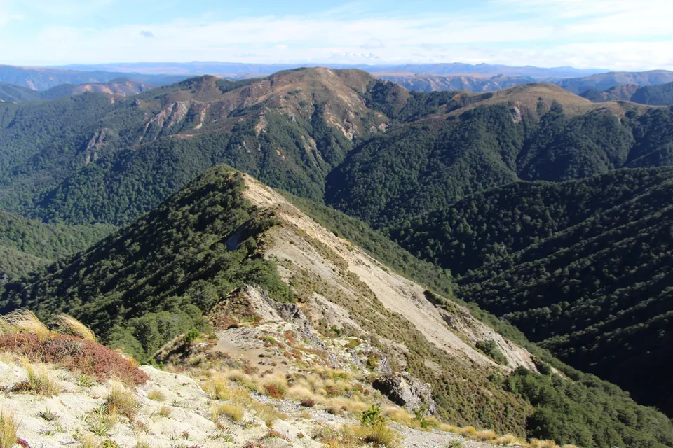
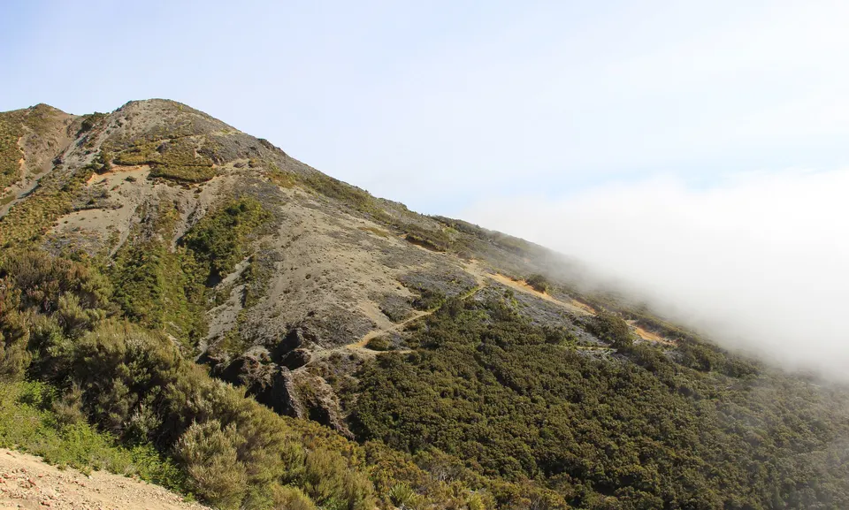
The Kaweka Range rises north-west of Napier inside DOC’s Kaweka Forest Park. Puketitiri, about an hour’s drive from Napier on Puketitiri Road, is the gateway. Gravel roads run on to Makahu Saddle for the climb to Kaweka J, and to Mangatutu Hot Springs on the Mōhaka River. Kuripapango, 76 km from Napier, is on the Napier–Taihape Road.
What is there to do in the Kaweka Range?
Kaweka Forest Park covers the Kaweka Range and the country around it, from alpine shrubland and tussock tops to beech forest and river valleys with pockets of rimu, miro and mataī. DOC lists tramping, hunting, fishing, rafting, canoeing and hot springs, with picnic and camping spots at the road ends. DOC’s history page says the park was set up in 1974 and now covers 59,000 ha; its hunting page gives 68,000 ha.
Most visitors come for three things: the climb to Kaweka J, the highest point of the range; the free hot pools at Mangatutu, at the end of Makahu Road; and the upper Mōhaka River, which is fished for trout and rafted. DOC says the park suits both experienced trampers and day walkers.
Kaweka J
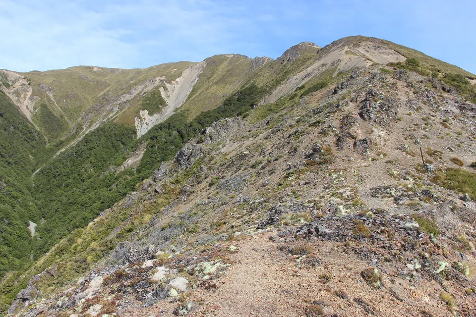
Highest point of the Kaweka Range, about 1,724 m: a poled mountain climb of about 2 hours from Makahu Saddle.
Good to know & how to get there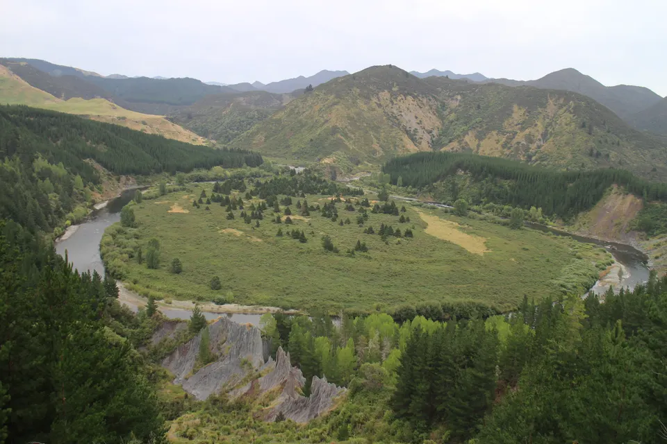
Mangatutu Hot Springs
Two free thermal pools above the Mōhaka River at the end of gravel Makahu Road, with a DOC campsite.
Good to know & how to get there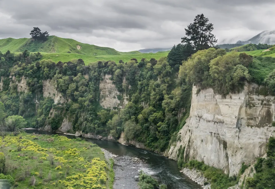
Mōhaka River
Wild river from the Kaweka Range: trout fishing, guided rafting from Grade 2 to 5 and riverside DOC campsites.
Good to know & how to get thereHow do you get into Kaweka Forest Park?
Most roads start from Puketitiri Road, which runs inland from Napier. DOC gives these distances from Napier: Whittle Road, which leads to Lotkow and Kaweka roads, about 60 km; Kaweka Road, for Makahu Saddle, 64 km; Makahu Road, for Mangatutu, 72 km. From the south, Kuripapango is 76 km from Napier on the Napier–Taihape Road, and Comet Road leaves that road 7 km west of Kuripapango.
The last part of each trip is on gravel. DOC recommends a 4WD for the park’s access roads, says Makahu Road is not suitable for caravans or campervans, and warns that Whittle Road may close in winter because of snow. Some car parks have closed or moved because of forestry. DOC keeps current access notes on each track page and its Hawke’s Bay alerts page, and advises checking Hastings District Council for road closures.
What is there to see at Puketitiri?
Puketitiri lies in the rain shadow of the Kaweka Range. DOC manages Ball’s Clearing, William Hartree and Hutchinson scenic reserves here, and Forest & Bird owns Little Bush, which is open to the public.
These reserves exist because locals saved them. In 1918 Puketitiri resident Frank Hutchinson bought a stand of forest to stop it being logged, and a 1930 petition by residents led to Ball’s Clearing Scenic Reserve, named after Jack Ball. Fires, dogs and camping are not allowed in the reserves.
Can you walk up Kaweka J?
Yes, but it is a mountain tramp, not a stroll. The usual start is Makahu Saddle, at the end of Kaweka Road, where Makahu Saddle Hut sits at 980 m. DOC’s Trials Spur Track climbs from the hut above the bushline in 2 to 3 hours and is graded Advanced; from there a steep poled route continues to the top, and you can come back down Makahu Spur. Hawke’s Bay Today put the climb from Makahu Saddle at about 2 hours.
Weather on the tops changes fast. DOC warns of gale-force north-west winds and winter snow at the saddle, and says winds over the main tops can pass 180 km/h. Check the Kaweka J summit forecast that DOC links to, and carry warm and waterproof layers.
How do you get to Mangatutu Hot Springs?
From Napier, follow Puketitiri Road, turn right onto Pakaututu Road and then onto Makahu Road. DOC says Makahu Road means about an hour on unsealed gravel, steep and narrow in places and slippery when wet, with a river ford 7.5 km from the road end. Hawke’s Bay Tourism allows about 90 minutes from Napier. At the end, the free DOC campsite has toilets and a picnic shelter, and a short, steep track leads down to two pools above the Mōhaka River.
What are the rules for fires, huts, dogs and hunting?
Kaweka Forest Park is a restricted fire area: you need a permit to light a fire at any time of year, and the Kuripapango (Ox Bow) and Mangatutu campsites have a total fire ban all year. Huts such as Makahu Saddle Hut cannot be booked; you buy a hut ticket online for each night or use a Backcountry Hut Pass.
Only registered hunting dogs with an avian aversion certificate, guide dogs, certified companion dogs and dogs used for special services are allowed; all other dogs are banned. Sika deer make up over 90% of the deer here, and in July 2026 the sika in the Kaimanawa and Kaweka forest parks were named the North Island’s first Herd of Special Interest. DOC issues hunting permits.
Track, hut and road conditions change after storms, so we do not list them here. Check DOC’s Hawke’s Bay alerts and the page for your track before you go.
What is the history of Kuripapango and the Napier–Taihape Road?
Kuripapango was once a stop for packhorse trains and bullock wagons and a holiday retreat for people from Hawke’s Bay. DOC’s history page says the road reached Kuripapango by 1881 and was finished through to Taihape in 1893. Two hotels offered tennis, trout fishing and pig hunting, but the heyday ended after the Main Trunk railway opened in 1905.
Before Europeans arrived, Māori lived on the eastern Kaweka foothills and near the Mangatutu and Mangatainoka hot springs, and the upper Mōhaka River had well-known eeling grounds. Today the Lakes car park, off Kuripapango Road, is the start of tracks such as the climb to Mt Kuripapango (1,250 m), which DOC allows 2 to 3 hours one way.
Questions about Kaweka & Puketitiri
How far is Mangatutu Hot Springs from Napier?
DOC puts Makahu Road about 72 to 75 km north-west of Napier, with about an hour of the trip on gravel. Hawke’s Bay Tourism allows about 90 minutes’ drive.
Do you need a 4WD for Kaweka Forest Park?
DOC recommends a 4WD for the park’s access roads. Makahu Road has a river ford and is not suitable for caravans or campervans.
How long does it take to climb Kaweka J?
Hawke’s Bay Today puts the climb from Makahu Saddle at about 2 hours. DOC allows 2 to 3 hours for Trials Spur Track from Makahu Saddle Hut, which leads to the poled route to the top.
Can you light a fire at Mangatutu?
No. DOC has a total fire ban at the Mangatutu and Kuripapango (Ox Bow) campsites all year, and you need a permit for fires anywhere else in the park.
Can you take a dog into Kaweka Forest Park?
Only certified hunting dogs and a few other certified dogs. Pet dogs are not allowed.
Sources
Checked 19 November 2026 against these sources. Rules, prices and times change, so check the official page before you go. How we check facts
- DOC: Kaweka Forest Park
- DOC: Kaweka Forest Park history and culture
- DOC: Kaweka Forest Park hunting
- DOC: Trials Spur Track
- DOC: Makahu Saddle Hut
- DOC: Makahu Road to Makahu Saddle via Middle Hill Hut and Kaweka Flats
- DOC: Mangatutu Hot Springs Campsite
- DOC: Te Puia Hut Track and Mangatainoka Hot Springs
- DOC: Lakes carpark to Mt Kuripapango Track
- DOC: Lotkow Road to Little’s Clearing
- DOC: Kuripapango tramping tracks
- DOC: Puketitiri area
- DOC: 2026 media releases (sika deer Herd of Special Interest, 15 July 2026)
- DOC: Hawke’s Bay alerts
- Hawke’s Bay Today: Annual remembrance trek in Kaweka ranges (22 November 2018)
- Hawke’s Bay Tourism: Mangatutu Hot Springs
- LINZ: Hundreds of Māori place names made official in the Hawke’s Bay region (October 2025)
- Wikipedia: Kaweka J (coordinates, height)