

Te Angiangi Marine Reserve
Marine reserve · Central Hawke’s Bay
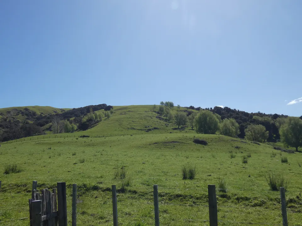
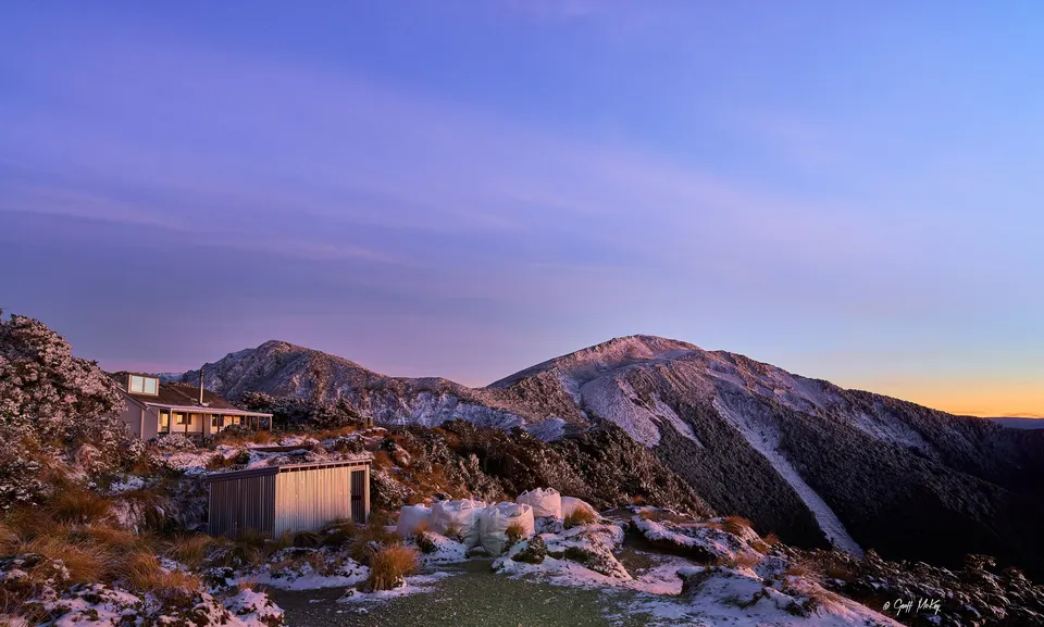
Te Angiangi Marine Reserve protects 446 ha of shore and sea between Aramoana and Blackhead beaches in Central Hawke’s Bay. At low tide a wide mudstone platform with rock pools is exposed. DOC says the drive from Waipawa or Waipukurau takes about 30 minutes. Nothing may be taken from the reserve.
Good to know
| Size | 446 ha, reaching one nautical mile (1.85 km) offshore from the high-water mark. |
|---|---|
| Established | 1997. |
| Access | Aramoana in the north, Blackhead in the south. |
| Drive | About 30 minutes from Waipawa or Waipukurau (DOC). The council gives about 40 minutes. |
| Rules | No fishing, and no taking of shellfish, seaweed, rocks or anything else, alive or dead. |
| Dogs | On a leash at all times. |
| Mana whenua | Ngāti Kere. |
What can you see in Te Angiangi Marine Reserve?
At low tide a broad mudstone platform is exposed. DOC describes beds of Neptune’s necklace, pink coralline seaweeds and sea grass, and rock pools with fish and shellfish such as golden limpets. You may also find octopus, crayfish and wandering anemones, and migratory wading birds feed on the platform.
Warm water from the East Cape and cooler water from the south Wairarapa meet here, so northern and southern marine species live side by side, sometimes in the same crevice. In 2011 heavy rain and a magnitude 4.5 earthquake set off landslides that buried much of the platform; DOC says the reserve had almost fully recovered a couple of years later.
Can you snorkel or dive at Te Angiangi?
Yes. DOC lists diving and snorkelling, boating and bird watching in the reserve, and the council mentions snorkelling from Blackhead and diving from Aramoana. Rock pools are best at low tide, so check the tide times for your day.
If you turn over a rock, put it back the way you found it. Do not walk on the eel grass beds: trampling kills the plants and lets the sand around them wash away. Watch birds and marine mammals from a distance.
How do you get to Te Angiangi?
Turn off State Highway 2 at Waipawa or Waipukurau. From Waipawa, follow Pourērere Road and turn right into Gibraltar Road before the Pourērere settlement; the council says the last 15 minutes to Aramoana are on gravel. From Waipukurau, DOC’s route to Blackhead follows Farm, Motere and Long Range roads.
Aramoana has public toilets. At Blackhead the toilets are at the campground. Freedom camping is not allowed at Blackhead; Aramoana has three marked car parks where certified self-contained vehicles can stay one night.
What are the rules, and where does the name come from?
Everything in the reserve is protected, alive or dead: no fishing, no gathering of shellfish or seaweed, and no taking of rocks or reef material. Firearms, littering and releasing animals or plants are also banned. Horses and vehicles may use the sand at the top of the platform, but not the rocky areas below mean high water. DOC says poaching here is a serious problem; report it to 0800 DOC HOT (0800 362 468).
Ngāti Kere chose the name. The area was part of the mana of Te Angiangi, a descendant of Te Aomatarahi. Ngāti Kere holds mana whenua over this coast and supported the reserve on condition that it be reviewed after a generation; DOC and Ngāti Kere completed that review in 2024, with 13 recommendations.
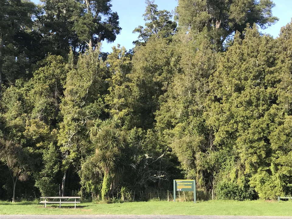
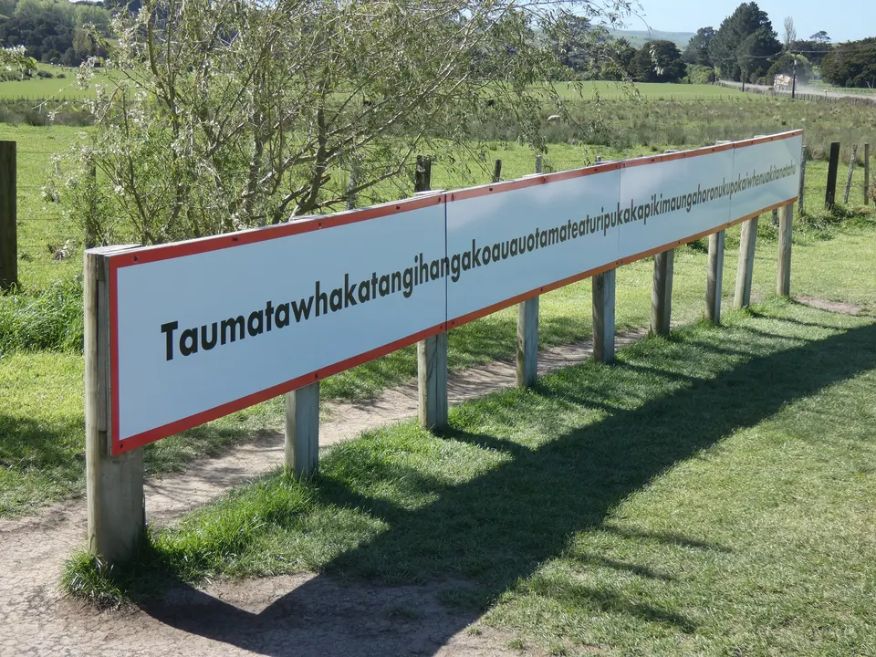
Questions about Te Angiangi Marine Reserve
Can you fish in Te Angiangi Marine Reserve?
No. Fishing and the gathering of shellfish and seaweed are banned, and nothing may be removed, alive or dead.
Can you drive on the beach at Te Angiangi?
Only on the sand at the top of the rock platform. Vehicles and horses are not allowed on the rocky areas below mean high water.
Can you walk from Blackhead to Aramoana?
Yes, at low tide. The council puts the walk at about 6 km return.
Are dogs allowed?
Yes, but DOC says they must be on a leash at all times.
Sources
Checked 19 November 2026 against these sources. Rules, prices and times change, so check the official page before you go. How we check facts
- DOC: Te Angiangi Marine Reserve
- Central Hawke’s Bay District Council: Aramoana Beach
- Central Hawke’s Bay District Council: Blackhead Beach
- Central Hawke’s Bay District Council: Freedom Camping Bylaw (adopted 27 June 2024, PDF)
- Te Ara: Hawke’s Bay places – Southern coast
- Wikipedia: Te Angiangi Marine Reserve (coordinates)