

Central Hawke’s Bay
Waipukurau · Waipawa · Ōtāne · Pourērere · Te Angiangi Marine Reserve · Ruahine Range
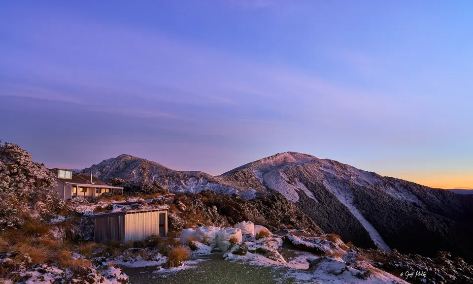
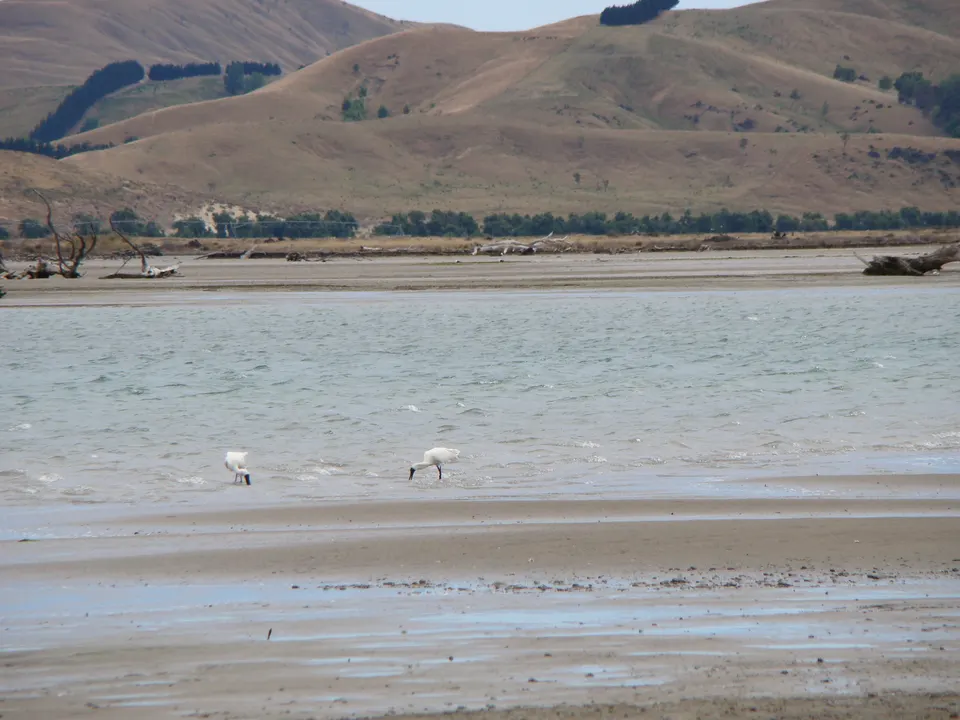
Central Hawke’s Bay is the farming district south of Hastings. Its largest town, Waipukurau, is 49 km south-west of Hastings on State Highway 2. To the east, beaches from Kairākau to Pōrangahau are about 30 to 45 minutes’ drive from Waipawa or Waipukurau. To the west, the Ruahine Range forms the district’s boundary.
What is there to do in Central Hawke’s Bay?
Most visitors come for the coast. Central Hawke’s Bay District Council looks after seven beaches on the Pacific side of the district, from Kairākau in the north to Te Paerahi and Whangaehu near Pōrangahau. Between Aramoana and Blackhead, Te Angiangi Marine Reserve protects a wide reef platform with rock pools that are exposed at low tide.
Near Pōrangahau, a sign on Wimbledon Road shows the long form of the name of a hill linked to the ancestor Tamatea. Inland, Hawke’s Bay Tourism lists the Tukituki Trails, limestone cycle paths with a main access point near Russell Park in Waipukurau, and Ngā Ara Tipuna, a storytelling trail that starts at Pukekaihou Pā and continues as a phone-based driving tour of seven more sites around Waipukurau and Takapau.
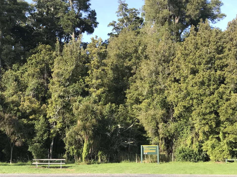
Central Hawke’s Bay beaches
Seven quiet beaches from Kairākau to Pōrangahau, with freedom camping at Pourērere by summer permit.
Good to know & how to get there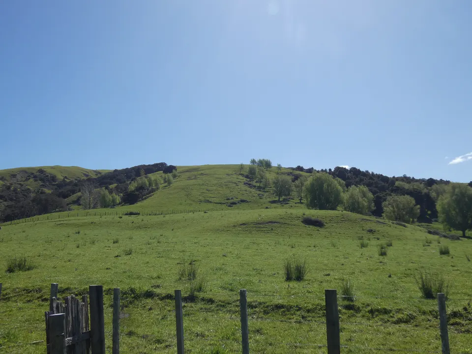
Te Angiangi Marine Reserve
No-take marine reserve between Aramoana and Blackhead, with rock pools on a wide reef at low tide.
Good to know & how to get there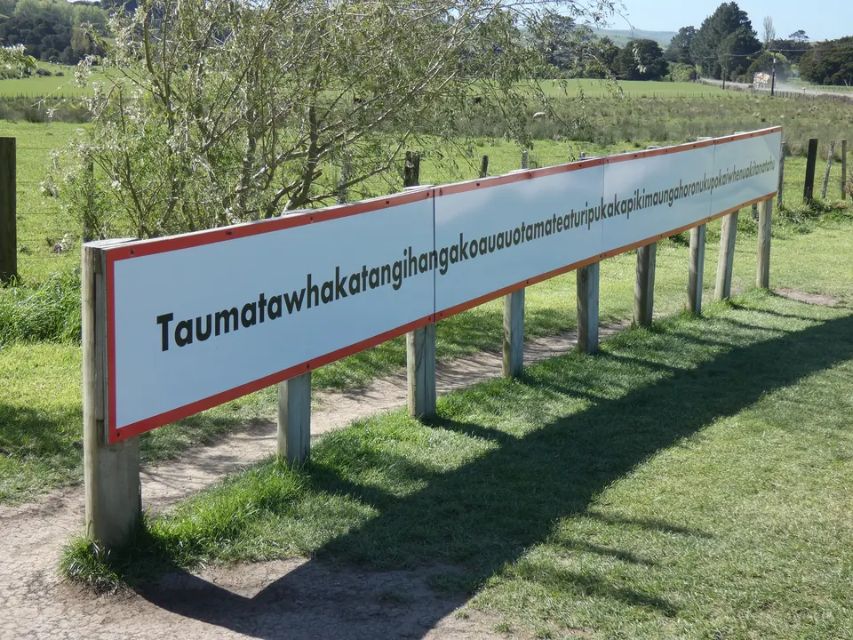
The longest place name
The hill near Pōrangahau with the world’s longest place name, and its sign on Wimbledon Road.
Good to know & how to get thereWhere is the visitor information centre in Central Hawke’s Bay?
The district’s i‑SITE is at Te Huinga Wai, the Knowledge and Learning Hub, at 4 Bogle Brothers Esplanade in Waipukurau. The council opened Te Huinga Wai in September 2021 in the building known as the Old Bucks building; the library and free Wi-Fi are there too.
The council and Hawke’s Bay Tourism give the same hours: 9 am to 5 pm on Monday, Tuesday, Thursday and Friday, 10 am to 6 pm on Wednesday and 9 am to 1 pm on Saturday. The council’s main office is in Waipawa, at 28–32 Ruataniwha Street.
What are the towns of Central Hawke’s Bay like?
Waipukurau is the largest town. Te Ara says Henry Russell founded it as a model village in the 1860s. Waipawa, also on State Highway 2, is the council’s administrative centre and the oldest inland town in Hawke’s Bay: runholder Frederick Abbott founded it in 1860 as Abbottsford, but settlers preferred the Māori name.
The smaller settlements grew up around the big sheep runs. Ongaonga was founded in 1872, Ōtāne in 1874 on part of the Homewood estate, and Takapau in 1876. Ongaonga is known for its open-air museum of colonial buildings moved there from elsewhere. The council puts the district’s population at about 16,600 (June 2024).
What are the Central Hawke’s Bay beaches like, and how far are they?
The beaches are reached by country roads east of Waipawa and Waipukurau, and the last stretch to some of them is gravel. The drive times below are the council’s, from Waipawa unless noted. The council’s beach pages say nothing about surf lifeguards; Safeswim shows which beaches are patrolled.
| Beach | Drive | Good to know |
|---|---|---|
| Kairākau | About 30 min | Toilets, changing rooms and a playground. You can kayak up the river, or walk north to Waterfall Bay at low tide. |
| Pourērere | About 35 min | Toilets, changing rooms and a picnic area. The council describes a sheltered lagoon suited to young children. |
| Mangakurī | About 45 min | No public toilets or other facilities, and no camping. |
| Aramoana | About 40 min, the last 15 min on gravel | Public toilets. Northern access to Te Angiangi Marine Reserve. |
| Blackhead | About 40 min from Waipawa or Waipukurau | Toilets at the campground. Southern access to Te Angiangi; no freedom camping. |
| Te Paerahi, Pōrangahau | About 45 min from Waipukurau | Public toilets and water. A beach walk of about 4 km leads to the river mouth. |
Te Ara notes that Pourērere was the site of the first sheep run in Hawke’s Bay, in 1849. More detail, and the camping rules, are on our Central Hawke’s Bay beaches page.
Where can you camp on the Central Hawke’s Bay coast?
Freedom camping is controlled by the council’s Freedom Camping Bylaw, adopted in June 2024. At Pourērere, about 40 sites on the Pourērere Beach Road reserve are open to tents and to vehicles that are not self-contained. From mid-December to the end of February you need a permit, which is free and allocated by ballot; applications close at the end of October each year.
A few other sites, such as Kairākau and Aramoana, are for certified self-contained vehicles only. Blackhead has no freedom camping, only the campground. The council’s freedom camping page has the map and the current rules.
Where is the world’s longest place name?
On a hill near Pōrangahau. Its official name, with macrons added by the New Zealand Geographic Board in 2019, is Taumatawhakatangihangakōauauotamateapōkaiwhenuakitānatahu. The sign, about 5 km along Wimbledon Road, shows a longer 85-letter form. The hill is on private land, so you need permission to walk on it. The story behind the name is on our longest place name page.
Can you walk in the Ruahine Range from Central Hawke’s Bay?
Yes. The Ruahine Range forms the district’s western edge. DOC’s Sunrise Track starts at the North Block Road end, about 100 km from Napier via State Highway 50 and Wakarara Road. The last 4 km of road cross private farmland, where dogs are not allowed.
DOC grades the track Easy. It takes 2 to 3 hours one way to Sunrise Hut, a 20-bunk serviced hut at 1,280 m that you must book. Armstrong Saddle (1,370 m), about 30 minutes above the hut, is exposed, and strong north-westerly winds are common.
Roads in the district can be damaged or closed after heavy rain. Check NZTA’s Journey Planner for state highways, and the council’s website for local roads, before you go.
Questions about Central Hawke’s Bay
How far is Waipukurau from Hastings?
Te Ara puts Waipukurau 49 km south-west of Hastings, on State Highway 2.
Is there an i‑SITE in Central Hawke’s Bay?
Yes, at Te Huinga Wai, the Knowledge and Learning Hub, 4 Bogle Brothers Esplanade, Waipukurau. It is closed on Sundays.
Can you freedom camp at Pourērere?
Yes, in the signposted sites on the Pourērere Beach Road reserve. From mid-December to the end of February you need a council permit, allocated by ballot.
Is there a sheltered beach for young children?
The council describes the lagoon at Pourērere as sheltered and suited to swimming with young children.
Sources
Checked 19 November 2026 against these sources. Rules, prices and times change, so check the official page before you go. How we check facts
- Central Hawke’s Bay District Council: Tamatea – Central Hawke’s Bay
- Central Hawke’s Bay District Council: Beaches
- Central Hawke’s Bay District Council: Kairakau Beach
- Central Hawke’s Bay District Council: Pourērere Beach
- Central Hawke’s Bay District Council: Mangakuri Beach
- Central Hawke’s Bay District Council: Aramoana Beach
- Central Hawke’s Bay District Council: Blackhead Beach
- Central Hawke’s Bay District Council: Te Paerahi Beach, Pōrangahau
- Central Hawke’s Bay District Council: Freedom camping
- Central Hawke’s Bay District Council: Freedom Camping Bylaw (adopted 27 June 2024, PDF)
- Central Hawke’s Bay District Council: Contact us
- Central Hawke’s Bay District Council: Te Huinga Wai opens its doors (28 September 2021)
- Hawke’s Bay Tourism: isite Visitor Centres
- Hawke’s Bay Tourism: Central Hawke’s Bay
- Te Ara: Hawke’s Bay places – Southern coast
- Te Ara: Hawke’s Bay places – Waipukurau
- Te Ara: Hawke’s Bay places – Waipawa
- DOC: Te Angiangi Marine Reserve
- DOC: Sunrise Track
- DOC: Sunrise Hut
- New Zealand Gazette: Amendments – New Zealand Geographic Board (21 June 2019)
- Hawke’s Bay Tourism: The Longest Place Name
- NZTA: Journey Planner
- Safeswim
- Wikipedia: Waipukurau (coordinates)