

Te Mata Peak
Walks & views · Hastings & Havelock North
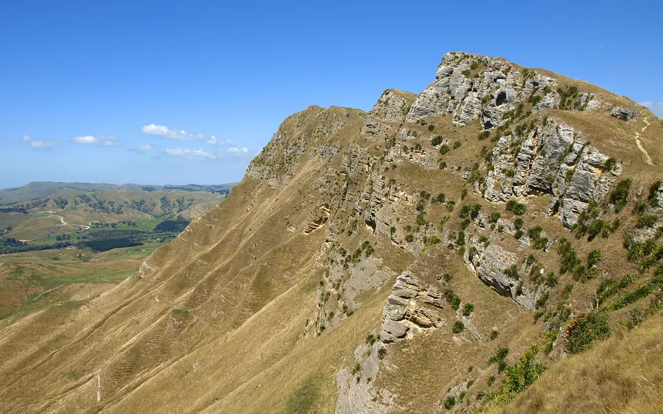
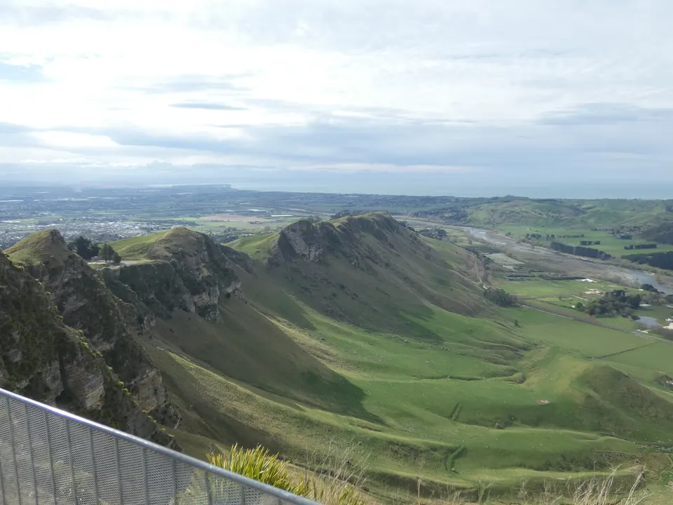
Te Mata Peak is the 399 m summit above Havelock North, in Te Mata Park, about 10 minutes’ drive from the village. You can drive Te Mata Peak Road to the top or walk one of seven marked trails, from a 10-minute garden loop to the 2 hour 15 minute Rongokako Trail to the summit.
Good to know
| Height | 399 m |
|---|---|
| Park | Te Mata Park, 107.5 ha, run by the volunteer Te Mata Park Trust |
| Getting there | About 5 km or 10 minutes’ drive from Havelock North, via Te Mata Road, Simla Avenue and Te Mata Peak Road |
| Summit road | Upper section closed to vehicles 10 pm to 5.30 am every day. Buses over 7.5 m go no further than the saddle car park. |
| Walks | Seven marked trails, 0.5 km to 5.5 km, easy to advanced |
| Toilets and water | Toilets at the Main Gate and Tauroa Road car parks. No drinking water in the park. |
| Dogs | Allowed off lead but under control and in sight; sheep graze the park |
How high is Te Mata Peak, and what can you see from the top?
Te Ara and Hawke’s Bay Tourism both give the height as 399 m. The Te Mata Park Trust promises 360° views over Hawke’s Bay and the Heretaunga Plains from the summit. Hawke’s Bay Tourism adds Napier and Māhia Peninsula, the Ruahine, Kaweka and Maungaharuru ranges, and Mount Ruapehu, which is often in view.
John Chambers bought and farmed the land. In 1927 his sons gave the reserve, peak included, to the people of Hawke’s Bay in his memory, and set up a charitable trust to keep it as a recreation reserve for good. Volunteer trustees still run it. After buying 8.5 ha more in 2019, the trust puts the park at 107.5 ha. In 1926 the family planted a grove of 223 California redwoods, and many are now over 40 m tall.
Can you drive to the top of Te Mata Peak, and is the road open?
Yes. From Havelock North village, follow Te Mata Road for 1.5 km, turn right into Simla Avenue at Hereworth School, and after 1 km turn left into Te Mata Peak Road. About 3 km on is the Main Gate car park, with a shelter, maps, toilets and picnic tables, and the road carries on to the summit. Its upper section is closed to vehicles from 10 pm to 5.30 am every day, and buses longer than 7.5 m may not go beyond the saddle car park.
The lower entrance is the Tauroa Road car park, 3.5 km from the village via Duart Road and Tauroa Road; it has toilets.
In extreme fire conditions the Te Mata Park Trust can close the whole park and lock the gates, and Hastings District Council can close Te Mata Peak Road and the Tauroa Road car park. The trust posts closures on its website and Facebook page, so check them on hot, dry, windy days.
Which Te Mata Peak walk should you do?
Te Mata Park has seven marked walking trails. Most start at the Main Gate car park; starting from Tauroa Road adds 0.7 km and about 15 minutes each way along Chambers Walk.
| Trail | Distance | Time | Grade |
|---|---|---|---|
| Rongoā Garden (green) | 0.5 km | 10 min | Easy |
| Pīwakawaka Loop (green) | 1.3 km | 40 min | Easy |
| Tipuna Footstep (yellow) | 2.5 km | 40 min | Intermediate |
| Giant Redwoods Track (purple) | 2.7 km | 1 hr | Intermediate |
| Karaka Wander (yellow) | 4 km | 1 hr 15 min | Intermediate |
| Giant Circuit (red) | 5.4 km | 2 hr 15 min | Advanced |
| Rongokako Trail (blue) | 5.5 km | 2 hr 15 min | Advanced |
The Rongokako Trail climbs to the summit by the Goat Track, with steep sections, high cliffs and big drop-offs. Part of the Giant Circuit is shared with uphill mountain bikers. Tracks can be slippery after rain, and there is no drinking water in the park, so bring your own. The trust posts a weekly park update on its Facebook page on Fridays.
What is the Māori story of Te Mata o Rongokako?
Te Mata Park calls the peak a taonga tuku iho, a treasure handed down from the ancestors, with several names, among them Te Mata o Rongokako. The park stresses that each iwi and hapū has its own story, and that all of them are equally respected.
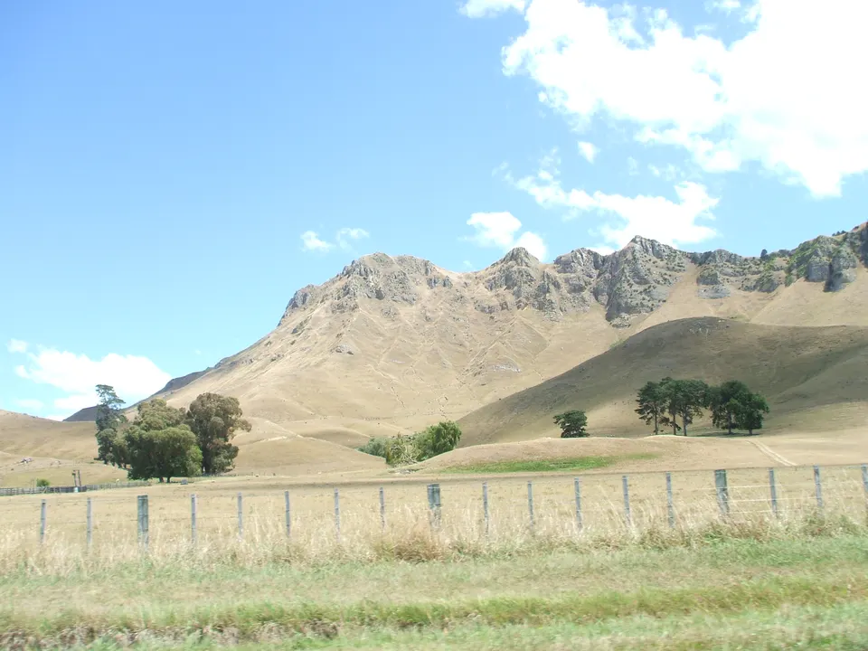
Te Ara says the best-known legend sees the peak and the hills around it as the body of Rongokako, an ancestor of Ngāti Kahungunu. A retelling by local historian Pat Parsons, published by the park, tells of Te Mata, a giant and leader of the Waimārama people, and Hinerākau of Pakipaki, who was sent to win his heart and turn him from war, and fell in love with him. The Heretaunga people set him near-impossible tasks; the last was to bite through the hills between the coast and the plains. He choked on the earth and died. The half-bitten cut is Pari Kārangaranga, and his body, lying with its head to the south, is the peak that European settlers called the Sleeping Giant.
Questions about Te Mata Peak
How long is the walk up Te Mata Peak?
The Rongokako Trail to the summit is 5.5 km and takes about 2 hours 15 minutes; the park grades it advanced. Easier loops start at 0.5 km.
Is Te Mata Peak Road open at night?
No. The upper section of the road is closed to vehicles from 10 pm to 5.30 am every day.
Can you take a dog to Te Mata Peak?
Yes. The park is an off-lead area, but dogs must be under control and in sight because sheep graze there.
Does Te Mata Park close in summer?
It can. In extreme fire conditions the trust closes the park and the council can close the road. Closures are posted on the park’s website and Facebook page.
Sources
Checked 19 November 2026 against these sources. Rules, prices and times change, so check the official page before you go. How we check facts
- Te Mata Park Trust
- Te Mata Park: Directions and opening times
- Te Mata Park: Walking trails
- Te Mata Park: Terms of access
- Te Mata Park: Current park hazards
- Te Mata Park: History
- Te Mata Park: The story of Te Mata
- Te Mata Park: Park to temporarily close due to extreme fire risk (9 January 2026)
- Te Ara: Hawke’s Bay places – East of Hastings (Havelock North, Te Mata Peak, Clive)
- Hawke’s Bay Tourism: Te Mata Peak
- Wikipedia: Te Mata Peak (coordinates)