

Hawke’s Bay beaches: swimming, surf and safety
Stay Hawke’s Bay travel guide · checked 19 November 2026
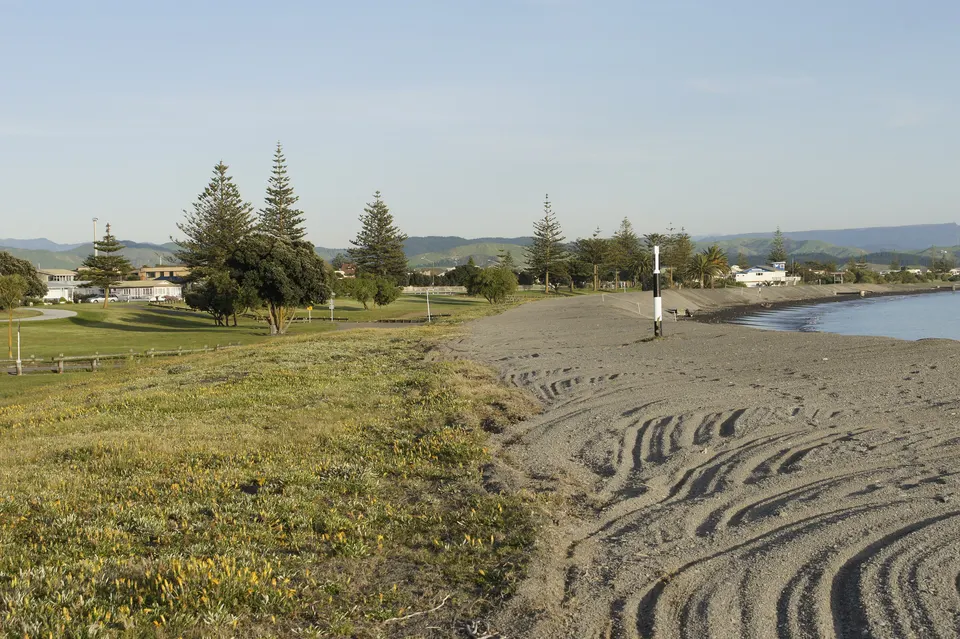
For a swim in Hawke’s Bay, choose a beach with surf lifeguards in summer: Westshore and Ahuriri in Napier, or Ocean Beach and Waimārama, about 35 minutes’ drive from Hastings. Do not swim at Marine Parade in central Napier: Napier City Council warns of a very steep drop-off, a strong undertow and loose shingle.
Surf patrol times change every season. Check the club or Safeswim before you go, and swim between the flags. NZTA road conditions
Key facts
| Patrolled in summer | Westshore and Ahuriri (Napier), Ocean Beach and Waimārama (Hastings district); Waipātiki for about six weeks |
|---|---|
| Ahuriri patrols 2026/27 | Weekends 12 pm to 5 pm, 28 November 2026 to 28 February 2027; weekdays 11 am to 6 pm, 14 December 2026 to 15 January 2027 (Pacific SLSC) |
| Marine Parade, Napier | Not a swimming beach: steep drop-off, strong undertow, unpredictable waves (Napier City Council) |
| Water quality | Hawke’s Bay Regional Council tests 37 sites weekly from November to mid-March; results on its website and LAWA |
| After heavy rain | Stay out of the water for 2 to 3 days (HBRC) |
| Tsunami | Long or strong earthquake: leave at once for high ground. A local tsunami can arrive in about 15 minutes (Hawke’s Bay Emergency Management) |
Which Hawke’s Bay beaches have surf lifeguards?
Five beaches have surf lifeguards in summer. Napier City Council lists Ahuriri Beach, between Perfume Point and Spriggs Park, and Westshore Beach, patrolled by the Pacific and Westshore surf life saving clubs. Hastings District Council lists Ocean Beach and Waimārama, where the Ocean Beach Kiwi and Waimārama clubs patrol, and says surf lifesavers also patrol Waipātiki for about six weeks in summer.
Surf Life Saving New Zealand’s advice is the same everywhere: choose a lifeguarded beach, swim between the red and yellow flags and follow the lifeguards’ instructions. Patrol areas can move, so look for the flags when you arrive.
| Beach | Lifeguards | Season, as published |
|---|---|---|
| Ahuriri Beach (Hardinge Road), Napier | Pacific SLSC | Saturdays and Sundays 12 pm to 5 pm, 28 November 2026 to 28 February 2027; weekdays 11 am to 6 pm, 14 December 2026 to 15 January 2027 |
| Westshore Beach, Napier | Westshore SLSC | Each summer, Labour Weekend to late March (club page); current times not yet published |
| Ocean Beach | Ocean Beach Kiwi SLSC | Summer holidays (Hastings District Council) |
| Waimārama | Waimārama SLSC | Summer holidays (Hastings District Council) |
| Waipātiki | Surf lifesavers (club not named by the council) | About six weeks, from mid-December to near the end of January, 11 am to 6 pm, 7 days (Hastings District Council) |
At Ahuriri, volunteers patrol at weekends and the Regional Lifeguard Service covers the weekdays. The Surf Life Saving New Zealand pages for the Westshore, Ocean Beach Kiwi and Waimārama clubs still show times from earlier seasons, so check before you go. Napier City Council points to Safeswim for current patrol times and conditions.
Surf Life Saving New Zealand and the councils have put bright yellow rescue buoys at Westshore, Ahuriri, Marine Parade, Ocean Beach, Waimārama and the mouth of Te Awa o Mokotūāraro (formerly the Clive River). They are for bystanders to throw or tow to someone in trouble when no lifeguards are on duty. If you see someone in trouble in the water, call 111 and ask for Police.
Can you swim at Marine Parade in Napier?
No. Napier City Council asks people not to swim, paddle or play near the water along Marine Parade, and to keep children well back from the water’s edge. The beach drops off very steeply, the undertow is strong and the waves are unpredictable. The council warns that rogue waves can surge up the beach even on a calm day, and that the loose shingle at the water’s edge makes it easy to lose your footing and hard to get back out.
The council put up 12 permanent no-swimming signs along the foreshore in December 2021, after a drowning near the National Aquarium. In 2022 the Pacific Surf Life Saving Club moved its patrols from Marine Parade to the Hardinge Road beaches at Ahuriri, which face north and are sheltered from the easterly swells.
Marine Parade is still worth a visit for the walk. A section of the Rotary Pathway runs along its seaward side, from near the Port of Napier’s southern entrance to the Tūtaekurī River at Awatoto.
Where is it safe to swim in Napier?
Swim at Westshore or Ahuriri, between the flags when lifeguards are on duty. Westshore Beach is a 19.4 ha strip reserve with surf clubs, toilets and changing rooms, and a playground on Ferguson Avenue near the Westshore Surf Club. Napier City Council says the 1931 earthquake turned Westshore’s dangerous, shingly shore into a sandy swimming beach.
Ahuriri Beach is along Hardinge Road, between Perfume Point and Spriggs Park. Hawke’s Bay Emergency Management has put tsunami information boards at Marine Parade, Perfume Point, Spriggs Park and Westshore.
What are Ocean Beach and Waimārama like for swimming?
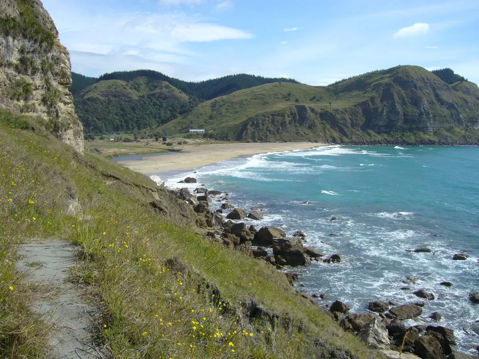
Both are long, golden-sand surf beaches south of Cape Kidnappers / Te Kauwae-a-Māui. Hastings District Council says they are within a 35-minute drive of Hastings, and that Waimārama is about 25 minutes from Havelock North. The council asks swimmers to check the conditions with the lifeguards first.
Ocean Beach (Waipuka) is for people on foot only: vehicles are not allowed on the beach, and the car park gates close from 8 pm to 6 am. The Ocean Beach Kiwi club has warned about the lagoon area, where people have drowned over the years. From Ocean Beach you can walk 7.5 km south to Waimārama or 8 km north to Whakapau Bluff; the council suggests allowing 4.5 hours return for each and checking the tides first.
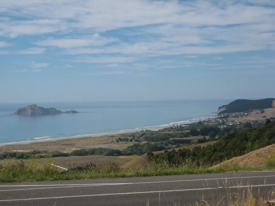
Waimārama has a general store with fish and chips and is popular for surfing, fishing and pipi. Vehicles are banned from 8 am to 8 pm on the signposted part of the beach from Labour Weekend to 30 April, and all Hastings beaches have a 20 km/h limit. Te Motu-o-Kura / Bare Island lies offshore.
Haumoana, Te Awanga and Clifton are not on the council’s list of patrolled beaches, and we found no official swimming advice for them. The Clifton Motor Camp has closed for good.
What about Waipātiki, Pourērere and the Central Hawke’s Bay coast?
Waipātiki is north of Napier, about 11 km from State Highway 2 on Waipatiki Road. Hastings District Council describes a broad golden-sand beach with native bush behind it, a camping ground, a picnic area and public toilets, next to the 64 ha Waipātiki Scenic Reserve.
Central Hawke’s Bay District Council lists seven beaches: Kairakau, Pourērere, Mangakuri, Aramoana, Blackhead, Te Paerahi (Pōrangahau) and Whangaehu. Pourērere is about 35 minutes’ drive from Waipawa, east on Tamumu Road, which becomes Pourērere Road. The council says it has white sand, rock pools, and a sheltered lagoon that suits small children, plus toilets, changing rooms and a picnic area. Kairakau is about 30 minutes from Waipawa.
The council’s beach pages do not mention lifeguards, and we found no surf patrols listed for these beaches. Swim with care, and stay out of the water if in doubt.
Is Māhia safe for swimming?
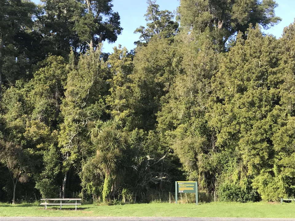
The Wairoa i‑SITE, run by Wairoa District Council, calls Māhia Beach a safe, shallow family beach, with public toilets next to the beach by the Māhia Fishing and Boating Club. It also lists Opoutama (Blue Bay), Mahanga and Taylor’s Bay as swimming spots. To get there, take State Highway 2 from Wairoa towards Gisborne and carry straight on at Nuhaka.
The i‑SITE warns that some beaches in the Wairoa district have a strong undertow, especially beaches with black or dark sand. Watch for signs. We found no surf lifeguard patrols listed for the Māhia Peninsula.
How do you check the water quality before a swim?
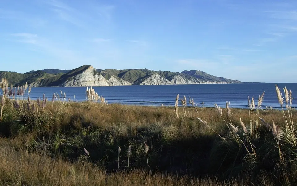
Hawke’s Bay Regional Council tests 37 rivers, beaches and estuaries from Māhia to Pōrangahau every week from November to mid-March, and posts the results on Wednesday afternoons. Search “#swim” on the council’s website or use LAWA’s Can I Swim Here pages. Results use traffic-light colours: green for suitable, orange for caution and red for unsuitable.
After heavy or prolonged rain, the council advises waiting two to three days before swimming. Another rule of thumb from the council: if you stand knee-deep and cannot see your toes, the water is not ideal. On LAWA, Hawke’s Bay Regional Council lists Mahanga, Waipātiki, Aramoana, Blackhead and Pōrangahau among the region’s best swimming spots on long-term results.
What should you do about tsunami at the beach?
Much of the Hawke’s Bay coast is in the tsunami evacuation zone. Hawke’s Bay Emergency Management says that if an earthquake makes it hard to stand or lasts more than a minute, you should leave at once for high ground or as far inland as you can, on foot or by bike, without waiting for an official warning. A tsunami from a nearby source, such as the Hikurangi subduction zone, could arrive in about 15 minutes. A sudden rise or fall in the sea, or a loud roar from the ocean, is also a reason to go.
Since October 2024 the region has used a single blue evacuation zone instead of the old red, orange and yellow zones. The zone for the coast between Tangoio and Clifton was redrawn on 19 August 2026. Check where you are on the online evacuation zone map.
Some roads have blue lines painted across them. They show how far a large tsunami could reach: after a long or strong earthquake, get past the line. The first in the region were painted at Pōrangahau in 2022, on Dundas Street and Blackhead Road. After a tsunami, stay away from beaches, estuaries and rivers for at least 24 hours.
Questions
Which beaches in Hawke’s Bay are patrolled by lifeguards?
Westshore and Ahuriri in Napier, and Ocean Beach and Waimārama in Hastings district, in summer. Hastings District Council says Waipātiki is patrolled for about six weeks from mid-December.
Can you swim at Napier beach on Marine Parade?
No. Napier City Council advises against swimming or paddling there because of a very steep drop-off, a strong undertow and unpredictable waves. Swim at Westshore or Ahuriri instead.
When are the lifeguards on at Ahuriri Beach?
For 2026/27, the Pacific Surf Life Saving Club lists weekends from 12 pm to 5 pm, 28 November 2026 to 28 February 2027, and weekdays from 11 am to 6 pm, 14 December 2026 to 15 January 2027.
How do you know if the water is clean enough to swim?
Check Hawke’s Bay Regional Council’s weekly results (search “#swim” on hbrc.govt.nz) or LAWA, from November to mid-March, and wait two to three days after heavy rain.
What do the blue lines on Hawke’s Bay roads mean?
They mark how far a large tsunami could reach. After a long or strong earthquake, move past the blue line straight away, without waiting for a warning.
Sources
Checked 19 November 2026 against these sources. Rules, prices and times change, so check the official page before you go. How we check facts
- Napier City Council: Water safety in Napier
- Napier City Council: Westshore Beach reserve
- Napier City Council: Marine Parade Foreshore Reserve
- Surf Life Saving New Zealand: Pacific SLSC (Ahuriri patrol times 2026/27)
- Surf Life Saving New Zealand: Westshore SLSC
- Surf Life Saving New Zealand: Ocean Beach Kiwi SLSC
- Surf Life Saving New Zealand: Waimarama SLSC
- Safeswim
- Hastings District Council: Beaches
- Hastings District Council: Ocean Beach
- Hastings District Council: Waimārama Beach
- Hastings District Council: Waipātiki Beach
- Hastings District Council: Clifton Beach
- Central Hawke’s Bay District Council: Beaches
- Central Hawke’s Bay District Council: Pourērere Beach
- Central Hawke’s Bay District Council: Kairakau Beach
- Visit Wairoa (Wairoa i‑SITE): Māhia Beach
- Visit Wairoa (Wairoa i‑SITE): Swimming
- Hawke’s Bay Regional Council: Swimming
- Hawke’s Bay Regional Council: Summer swimming starts online (23 December 2025)
- LAWA: Hawke’s Bay region swimming
- Hawke’s Bay Emergency Management: Tsunami
- Hawke’s Bay Emergency Management: Update to the tsunami evacuation map (10 October 2024)
- Hawke’s Bay Emergency Management: Tsunami evacuation zone updated for the Napier and Hastings coastline (19 August 2026)
- Hawke’s Bay Emergency Management: New blue lines a first for Hawke’s Bay (7 June 2022)
- Hawke’s Bay Emergency Management: Keeping Napier tsunami ready this summer (11 January 2023)
- Hawke’s Bay Emergency Management: tsunami evacuation zone map
- RNZ: Lifeguards to move from dangerous Napier beach (25 November 2022)
- Hawke’s Bay Today: Twelve no-swimming signs erected at Napier foreshore (26 December 2021)
- Hawke’s Bay Today: Surf lifesaving season opens across Hawke’s Bay (28 November 2025)